


10,9 km | 16,7 km-effort
Argeș: Scopri i migliori percorsi: 55 percorsi a piedi. Tutti questi percorsi, itinerari e attività outdoor sono disponibili nelle nostre app SityTrail per smartphone e tablet.
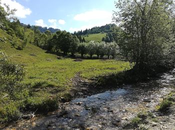
A piedi


• Trail created by Munții Noștri.
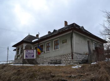
A piedi
• Trail created by Munții Noștri.
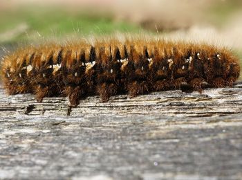
A piedi
• Symbol: Red triangle with white border
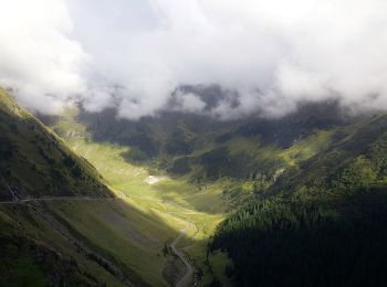
A piedi
• Symbol: bandă albastră
A piedi
• Symbol: Dunga Albastra
A piedi
• Symbol: cruce roşie
A piedi
A piedi
A piedi
A piedi
A piedi
A piedi
A piedi
• Trail created by Munții Noștri.
A piedi
• Trail created by Munții Noștri.
A piedi
• Trail created by Munții Noștri.
A piedi
• Trail created by Munții Noștri.
A piedi
• Trail created by Munții Noștri.
A piedi
A piedi
A piedi
20 percorsi visualizzati su 55
Applicazione GPS da escursionismo GRATUITA
 SityTrail
IGN / Istituti geografici
SityTrail World
Il mondo è tuo