


14 km | 26 km-effort
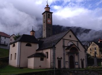
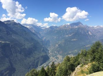
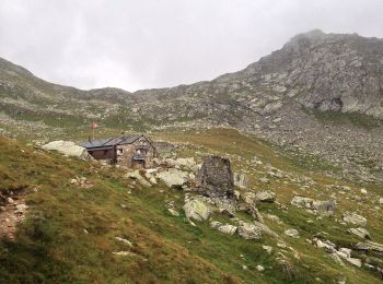
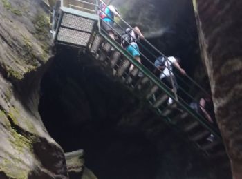
Baceno: Scopri i migliori percorsi: 15 percorsi a piedi. Tutti questi percorsi, itinerari e attività outdoor sono disponibili nelle nostre app SityTrail per smartphone e tablet.
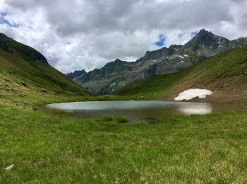
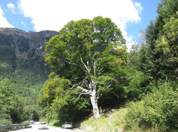
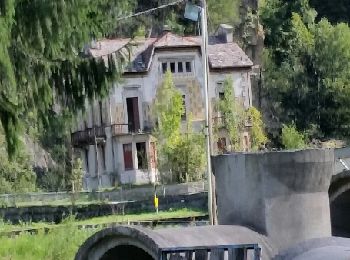
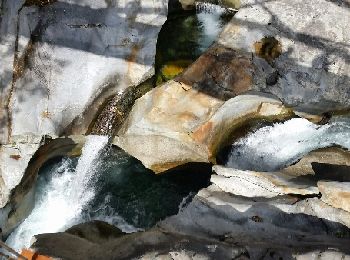
A piedi


• Sentiero Italia CAI 2019
A piedi
• Relation with Google Earth photos (click on → web site) mantained by Danilo (CAI Pallanza) Symbol: white red flags
Marcia
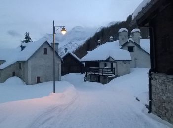
A piedi
A piedi
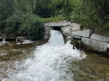
A piedi
A piedi
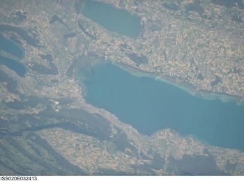
A piedi
A piedi
Marcia
A piedi
Marcia
Marcia

Marcia
•

Altra attività
•
Marcia
•
16 percorsi visualizzati su 16
Applicazione GPS da escursionismo GRATUITA
 SityTrail
IGN / Istituti geografici
SityTrail World
Il mondo è tuo