


4,9 km | 7,1 km-effort
Senales: Scopri i migliori percorsi: 12 percorsi a piedi. Tutti questi percorsi, itinerari e attività outdoor sono disponibili nelle nostre app SityTrail per smartphone e tablet.
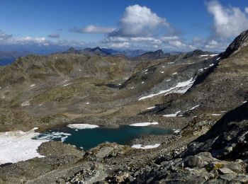
A piedi


• Trail created by Alpenverein Südtirol.
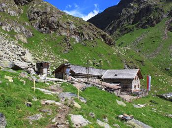
A piedi
• Trail created by Alpenverein Südtirol.
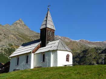
A piedi
• Symbol: rot-weiß-rot 13
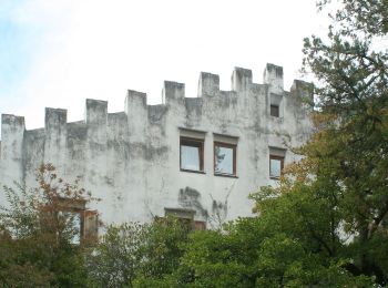
A piedi
• Trail created by AVS.
A piedi
• Trail created by Alpenverein Südtirol. Symbol: rot-weiß-rot 8
A piedi
• Trail created by Alpenverein Südtirol. Symbol: rot-weiß-rot 9
A piedi
• Trail created by Alpenverein Südtirol. Symbol: rot-weiß-rot 10A
A piedi
• Trail created by Alpenverein Südtirol. Symbol: rot-weiß-rot 1
A piedi
• Trail created by Alpenverein Südtirol. Symbol: rot-weiß-rot 6
A piedi
• Trail created by Alpenverein Südtirol. Symbol: rot-weiß-rot 10
A piedi
• Trail created by Alpenverein Südtirol.
A piedi
• Symbol: blauer Fleck im geschwungenen schwarzem S in schwarzem Rahmen, darüber und darunter ein roter Streifen
12 percorsi visualizzati su 12
Applicazione GPS da escursionismo GRATUITA
 SityTrail
IGN / Istituti geografici
SityTrail World
Il mondo è tuo