


17,9 km | 27 km-effort
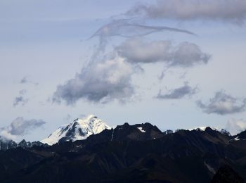
Courmayeur: Scopri i migliori percorsi: 82 percorsi a piedi e 4 percorsi in bicicletta o MTB. Tutti questi percorsi, itinerari e attività outdoor sono disponibili nelle nostre app SityTrail per smartphone e tablet.
A piedi


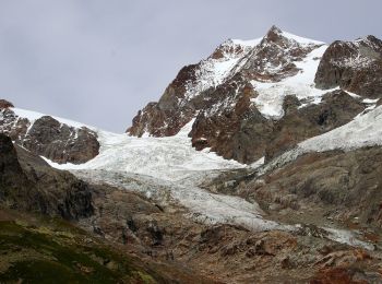
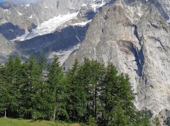
• Rifugio Elisabetta Soldini - La Thuile Alte Vie Sito web: http://www.lovevda.it/it/banca-dati/7/alte-vie/valle-d-ao...
A piedi
• Courmayeur - Rifugio Elisabetta Soldini Alte Vie Sito web: http://www.lovevda.it/it/banca-dati/7/alte-vie/-valle-d-...
A piedi
• Rifugio Walter Bonatti - Courmayeur Alte Vie Sito web: http://www.lovevda.it/it/banca-dati/7/alte-vie/valle-d-aosta...
A piedi
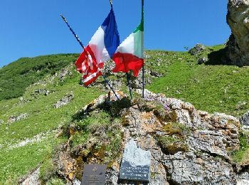
• Sentiero Italia CAI 2019
A piedi
• Sentiero Italia CAI 2019
A piedi
• Sentiero Italia CAI 2019
A piedi
A piedi
A piedi
A piedi
Marcia
Marcia
Marcia
Marcia
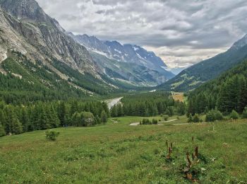
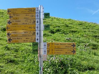
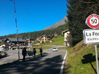
• Val Ferret -> La Fouly

Marcia
Marcia
Marcia
Marcia
Marcia
Marcia
20 percorsi visualizzati su 109
Applicazione GPS da escursionismo GRATUITA
 SityTrail
IGN / Istituti geografici
SityTrail World
Il mondo è tuo