


9,7 km | 10,5 km-effort
County Kerry: Scopri i migliori percorsi: 60 percorsi a piedi e 6 percorsi in bicicletta o MTB. Tutti questi percorsi, itinerari e attività outdoor sono disponibili nelle nostre app SityTrail per smartphone e tablet.
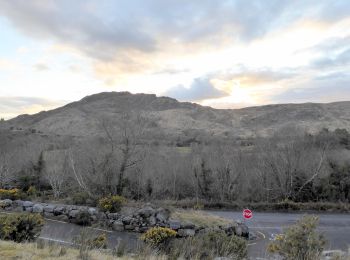
A piedi


• Percorso creato da Slí na Sláinte - Irish Heart Foundation. Route is recommended as a day time walk only
A piedi
• OSi Discovery Series Sheet 71 Sito web: http://www.irishtrails.ie/Trail/Keel-Uphill-Downhill-Loop-Walk/666/
A piedi
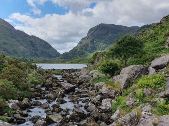
A piedi
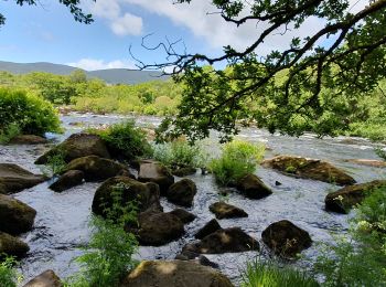
A piedi
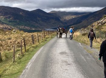
Marcia
Marcia
Marcia
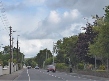
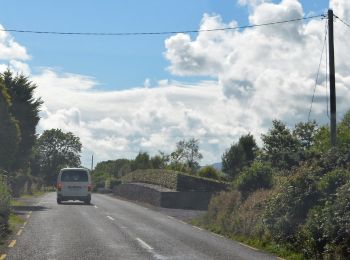
Macchina
Macchina

Marcia
Mountainbike

Marcia
Marcia
Marcia

Macchina
Marcia
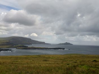
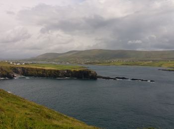
• Magnifiques vues sur la cote, les îles Skelling, les champs de moutons, etc.
Marcia
Marcia
• Circuit of Derrymore Glen
Marcia
•
20 percorsi visualizzati su 90
Applicazione GPS da escursionismo GRATUITA
 SityTrail
IGN / Istituti geografici
SityTrail World
Il mondo è tuo