


14,3 km | 15,6 km-effort
Worcestershire: Scopri i migliori percorsi: 18 percorsi a piedi. Tutti questi percorsi, itinerari e attività outdoor sono disponibili nelle nostre app SityTrail per smartphone e tablet.
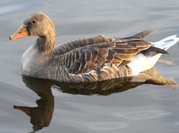
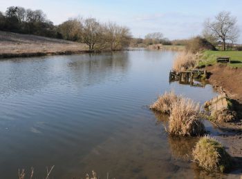
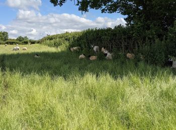
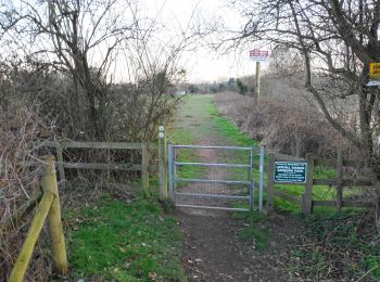
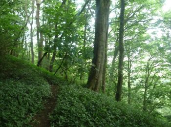
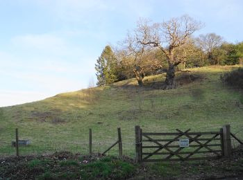
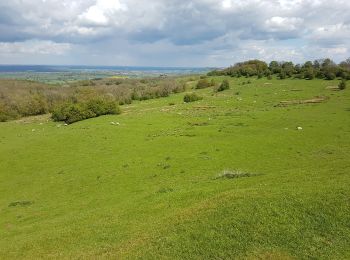
A piedi


• Sito web: https://www.walk4life.info/sites/default/files/walkdocs/walkdoc-49559.pdf
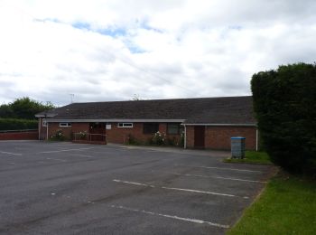
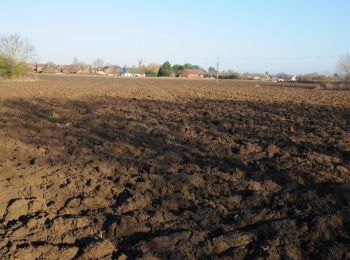
A piedi
• Original route pre 2012 revision
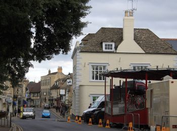
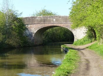
A piedi
• Original route pre 2012 revision
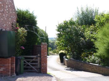
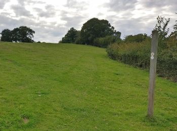
A piedi
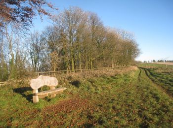
• Original route pre 2012 revision
A piedi

A piedi
A piedi
A piedi

A piedi

A piedi
A piedi
A piedi
A piedi
A piedi
A piedi
A piedi
A piedi
Marcia
18 percorsi visualizzati su 18
Applicazione GPS da escursionismo GRATUITA
 SityTrail
IGN / Istituti geografici
SityTrail World
Il mondo è tuo