


6,6 km | 10,9 km-effort
Cumbria: Scopri i migliori percorsi: 17 percorsi a piedi e 1 percorsi in bicicletta o MTB. Tutti questi percorsi, itinerari e attività outdoor sono disponibili nelle nostre app SityTrail per smartphone e tablet.
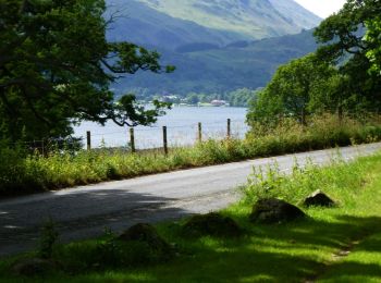
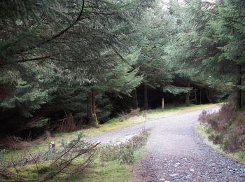
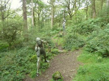
A piedi


• Percorso creato da National Trust.
A piedi
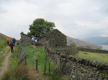
A piedi
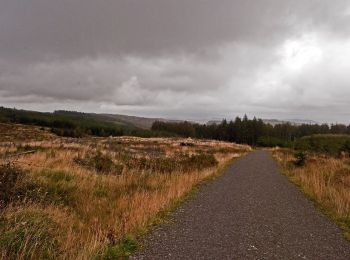
A piedi
A piedi
A piedi

A piedi

Marcia
Marcia
• Départ du Camping Copicce et retour au Camping montée par Coniston et le Wether Lam. redescente par le lac du Old Man.
Marcia
• More information on GPStracks.nl : http://www.gpstracks.nl
Marcia
• More information on GPStracks.nl : http://www.gpstracks.nl
Marcia
• More information on GPStracks.nl : http://www.gpstracks.nl

Bicicletta
• UK C2C
Marcia
Marcia
A piedi
A piedi
A piedi
18 percorsi visualizzati su 18
Applicazione GPS da escursionismo GRATUITA
 SityTrail
IGN / Istituti geografici
SityTrail World
Il mondo è tuo