


10 km | 16 km-effort
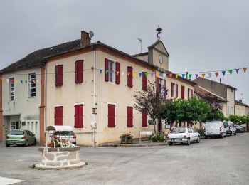
Tanus: Scopri i migliori percorsi: 10 percorsi a piedi. Tutti questi percorsi, itinerari e attività outdoor sono disponibili nelle nostre app SityTrail per smartphone e tablet.
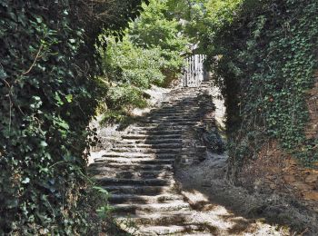
Marcia


A piedi
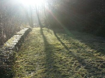
Corsa a piedi
• depart depuis le parking du départ de la randonnée de la Chapelle. passage par le pont de Tanus. et par la passerell...

Marcia
Marcia

A piedi
• D’une distance de 17,5 kilomètres et d’un niveau difficile, le Sentier de Las Planques vous retrace l’Histoire des Ho...
Marcia
•

 7.252
7.252
sport
Marcia
A piedi
Marcia

Moto-cross
12 percorsi visualizzati su 12
Applicazione GPS da escursionismo GRATUITA
 SityTrail
IGN / Istituti geografici
SityTrail World
Il mondo è tuo