


38 km | 47 km-effort
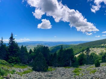
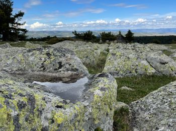
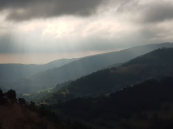
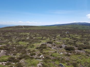
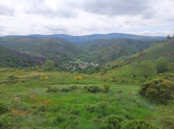
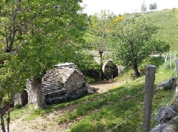
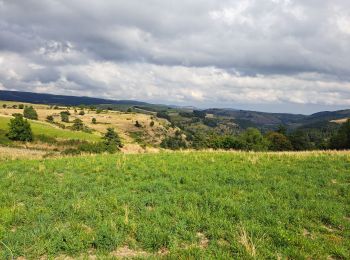
Cubières: Scopri i migliori percorsi: 41 percorsi a piedi, 6 percorsi in bicicletta o MTB e 5 percorsi a cavallo. Tutti questi percorsi, itinerari e attività outdoor sono disponibili nelle nostre app SityTrail per smartphone e tablet.
Mountainbike


Bicicletta elettrica
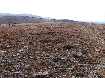
Marcia
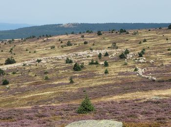
Marcia
• La fin passe par le nouveau tracé
Marcia

Marcia
Marcia
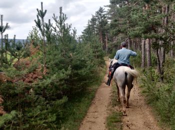
Equitazione
Marcia
Marcia
Marcia
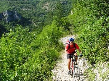
Mountainbike
Marcia

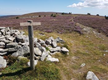
A piedi
Marcia
Marcia
Marcia
Marcia
Marcia
A piedi
20 percorsi visualizzati su 55
Applicazione GPS da escursionismo GRATUITA
 SityTrail
IGN / Istituti geografici
SityTrail World
Il mondo è tuo