


58 km | 74 km-effort
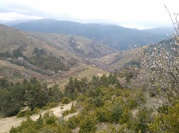
Meyrueis: Scopri i migliori percorsi: 86 percorsi a piedi, 14 percorsi in bicicletta o MTB e 14 percorsi a cavallo. Tutti questi percorsi, itinerari e attività outdoor sono disponibili nelle nostre app SityTrail per smartphone e tablet.
Bici da strada


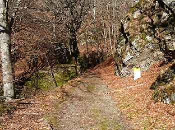
Marcia
A piedi
• Sito web: https://www.lozere-tourisme.com/itineraires-sportifs/ITILAR048V508K93/detail/meyrueis/sentier-du-chateau-...
Marcia

Mountainbike

Marcia
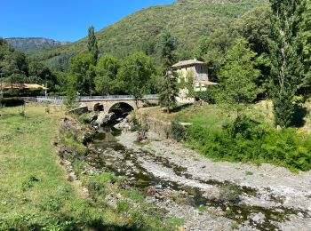
• Départ du camping de la Cascade vers le village de Cabrillac
Marcia
Marcia
Marcia
Marcia
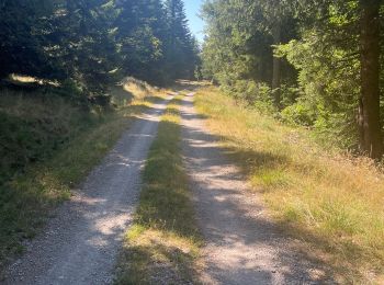
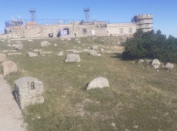
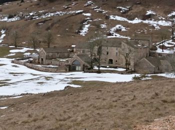
• Meyrueis - Mt Aigoual Itinéraire très boisé, de très beaux chemins. Site du Mt Aigoual magnifique. La visite de la St...
Marcia
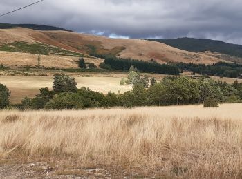
• Boucle au départ de Salvinsac, rejoindre le GR 66 qui est en crête le suivre jusqu'à Cabrillac et retour par les Esca...
Marcia
• Boucle au départ de Salvinsac passant par Aures, Gally, Fretma, La Begude Blanche et Saubert. 20 km et 550 m de déniv...
Marcia
Mountainbike
Marcia
Bicicletta elettrica
Bici da strada
Marcia
• boucle au départ du Tournayas jusqu'au col de La Croix de Fer
Marcia
• cu dans l eau
Marcia
• Boule au départ de Meyrueis
20 percorsi visualizzati su 119
Applicazione GPS da escursionismo GRATUITA
 SityTrail
IGN / Istituti geografici
SityTrail World
Il mondo è tuo