


5,3 km | 9,6 km-effort
Aucun: Scopri i migliori percorsi: 59 percorsi a piedi e 4 percorsi in bicicletta o MTB. Tutti questi percorsi, itinerari e attività outdoor sono disponibili nelle nostre app SityTrail per smartphone e tablet.
Racchette da neve


Sport invernali
• nordique
Sport invernali
• fond
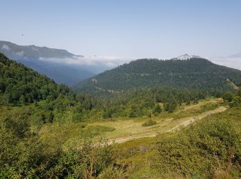
Marcia
Marcia
Marcia

Marcia
Altra attività
• Dernière demi étape pour moi après 260 km sur ce GR10. Je rentre à Tours.
Marcia
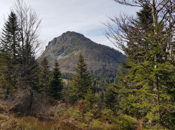
• aller par la crête du soum de pêne retour par chemin
Marcia
Marcia
Marcia
Parapendio
Marcia
Marcia
Marcia
Racchette da neve
Marcia
Racchette da neve

Marcia
20 percorsi visualizzati su 75
Applicazione GPS da escursionismo GRATUITA
 SityTrail
IGN / Istituti geografici
SityTrail World
Il mondo è tuo