


9,2 km | 19,5 km-effort
Le Port: Scopri i migliori percorsi: 41 percorsi a piedi, 2 percorsi in bicicletta o MTB e 3 percorsi a cavallo. Tutti questi percorsi, itinerari e attività outdoor sono disponibili nelle nostre app SityTrail per smartphone e tablet.
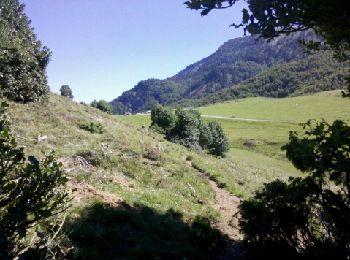
Marcia


Marcia
Marcia
Marcia

Marcia
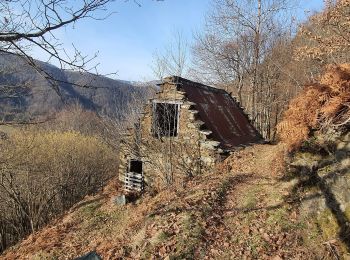
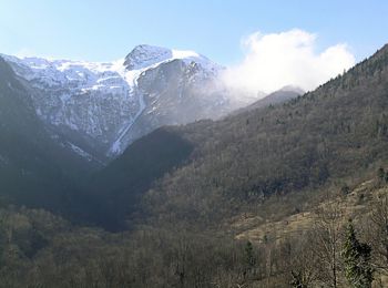
• sentier n°18

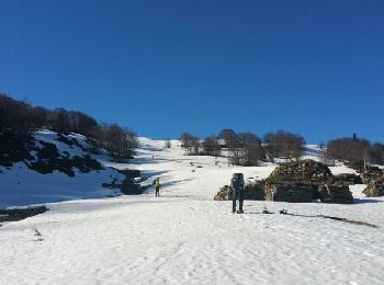
Racchette da neve
Marcia
• sentier n°18 reconnaissance
Marcia
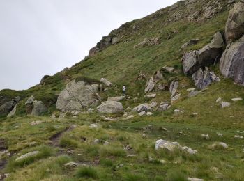
Marcia
Marcia
Marcia

Racchette da neve
• en boucle
Cavallo
Cavallo
Cavallo
Mountainbike

Marcia

 12.682
sport
• sentier n°18 reconnaissance
Marcia
Marcia
20 percorsi visualizzati su 52
Applicazione GPS da escursionismo GRATUITA
 SityTrail
IGN / Istituti geografici
SityTrail World
Il mondo è tuo