


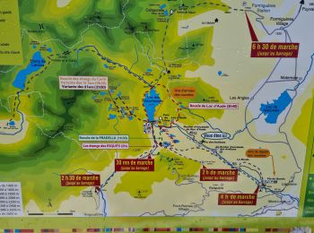
11,2 km | 14,2 km-effort
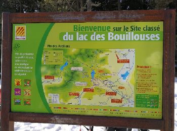
La Llagonne: Scopri i migliori percorsi: 29 percorsi a piedi, 10 percorsi in bicicletta o MTB e 1 percorsi a cavallo. Tutti questi percorsi, itinerari e attività outdoor sono disponibili nelle nostre app SityTrail per smartphone e tablet.

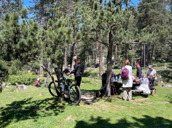
Marcia


• forêts
 7.303
7.303
sport
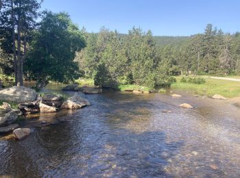
Marcia
Marcia
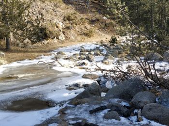
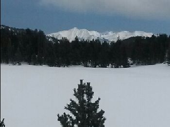
Racchette da neve
Racchette da neve
Racchette da neve
Racchette da neve
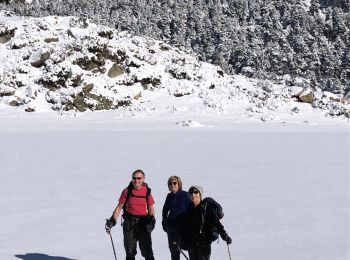
• Dans ce sens la montée est rude et ne faiblit pas jusqu'en haut. Rando plus facile dans l'autre sens. Autrement rando...
Marcia
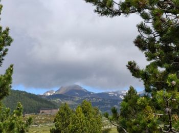
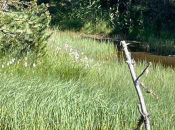
• Randonnée sympa en forêt pentes douces et beaux points de vues surtout au refuge du Pla del Buc
Racchette da neve
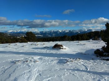
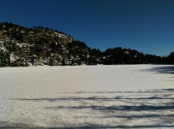
• par les Bouillouses - ATTENTION : Prendre toutes précautions avant de traverser les lacs gelés, en cas de doute ne pa...
Racchette da neve
• par les Bouillouses
Marcia
Racchette da neve
Marcia
Racchette da neve
Marcia
Racchette da neve
Racchette da neve
Marcia
Racchette da neve
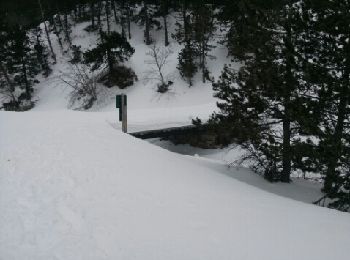
• Rando de sous bois sans vues. Le chemin de descente vers la route n'est pas très facile à trouver si il n'y a pas de ...
20 percorsi visualizzati su 69
Applicazione GPS da escursionismo GRATUITA
 SityTrail
IGN / Istituti geografici
SityTrail World
Il mondo è tuo