


10,3 km | 12,5 km-effort
Agde: Scopri i migliori percorsi: 62 percorsi a piedi e 44 percorsi in bicicletta o MTB. Tutti questi percorsi, itinerari e attività outdoor sono disponibili nelle nostre app SityTrail per smartphone e tablet.
Marcia


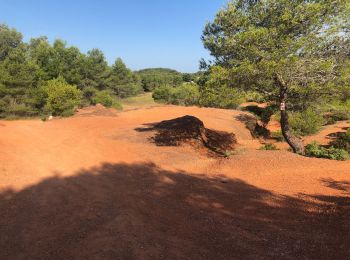
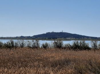
• Très belle randonnée découverte avec ascension du volcan du Mont St-Loup jusqu'à son sommet (D+ 163 m ... pfff). Vue ...

Marcia
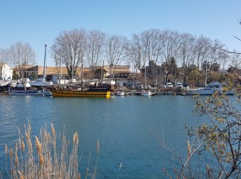
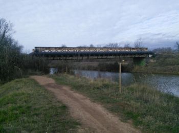
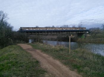
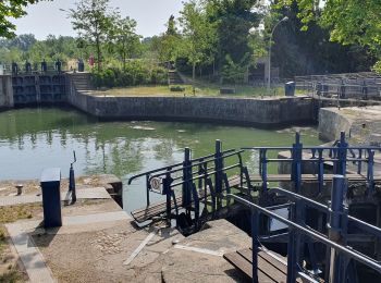
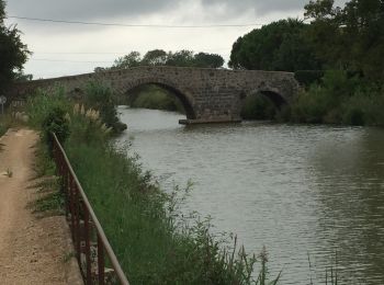
• Ballade le long du Canal du Midi et de ses écluses
Camminata nordica
Marcia
Marcia
Mountainbike
Marcia
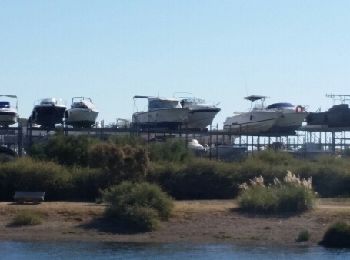
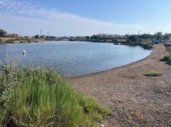
• Etang du Bagnas,Pointe de l'Onglous,canal du Midi et son chemin de halage, Etang de Thau, belles vues sur Sète.
Marcia
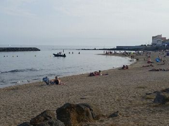
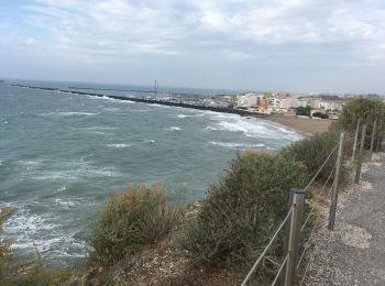
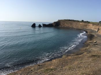
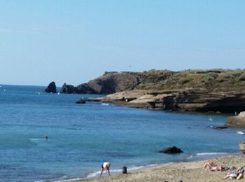
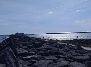
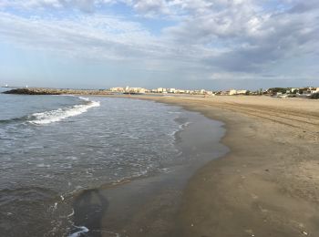
• Agréable balade par les falaises du Cap et les plages de Richelieu et de Rochelongue
Marcia
• Très beau parcours par les quais piétonniers, le golf du Cap et superbe vue sur le Bassin de Thau. Le retour par de b...
Marcia
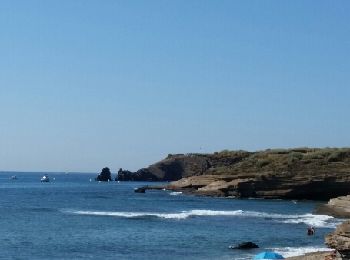
• Agréable parcours par les falaises, la zone technique, les quais piétonniers, le parc aquatique, le nouveau complexe...
Marcia
• Etang du Bagnas,Pointe de l'Onglous,canal du Midi et son chemin de halage, Etang de Thau, belles vues sur Sète.
Cicloturismo
Sentiero
Marcia
Marcia
Marcia
Mountainbike

Bici da strada
Marcia
20 percorsi visualizzati su 107
Applicazione GPS da escursionismo GRATUITA
 SityTrail
IGN / Istituti geografici
SityTrail World
Il mondo è tuo