


11 km | 19,2 km-effort
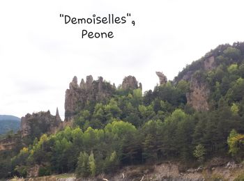
Peona: Scopri i migliori percorsi: 52 percorsi a piedi e 11 percorsi in bicicletta o MTB. Tutti questi percorsi, itinerari e attività outdoor sono disponibili nelle nostre app SityTrail per smartphone e tablet.

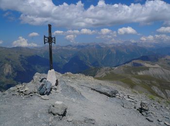
A piedi


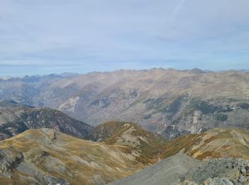
• Randonnée pédestre - Haut pays : Au départ de Péone (1 160 m) Sito web: https://randoxygene.departement06.fr/haut-ci...
A piedi
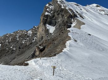
• Randonnée pédestre - Haut pays : Au départ de Valberg, parking du col de l’Espaul (1 748 mètres) Sito web: https://r...
Marcia
Marcia
Marcia

Marcia
Marcia
Marcia
Marcia
Marcia
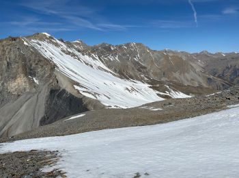
Racchette da neve
Marcia
Marcia
Marcia
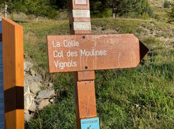
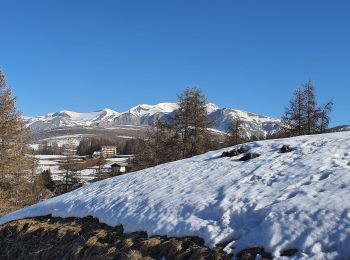
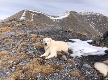
• Peu de neige. Raquettes utiles à la descente sur la Colle.

Sentiero

Sentiero
Marcia
Marcia
Marcia
Marcia
20 percorsi visualizzati su 68
Applicazione GPS da escursionismo GRATUITA
 SityTrail
IGN / Istituti geografici
SityTrail World
Il mondo è tuo