


21 km | 31 km-effort
Cipières: Scopri i migliori percorsi: 42 percorsi a piedi. Tutti questi percorsi, itinerari e attività outdoor sono disponibili nelle nostre app SityTrail per smartphone e tablet.
Marcia


A piedi
• Randonnée pédestre - Au départ de Gourdon, Pont du Loup (188 m) Sito web: https://randoxygene.departement06.fr/trave...
A piedi
• Randonnée pédestre - Au départ de Gourdon, Pont du Loup (188 m) Sito web: https://randoxygene.departement06.fr/trave...
A piedi
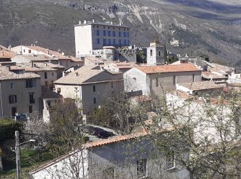
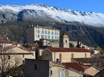
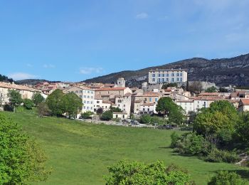
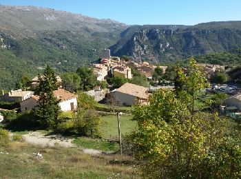
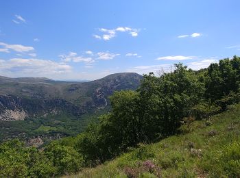
• Randonnée pédestre - Au départ de Cipières (750 m) Sito web: https://randoxygene.departement06.fr/siagne-loup/platea...
Marcia
Marcia
A piedi
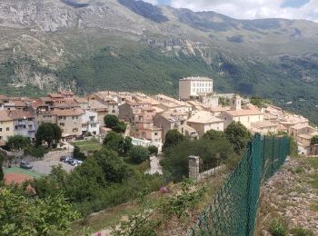
• Randonnée pédestre - Au départ de Cipières (750 m) Sito web: https://randoxygene.departement06.fr/siagne-loup/collet...
Marcia
Marcia
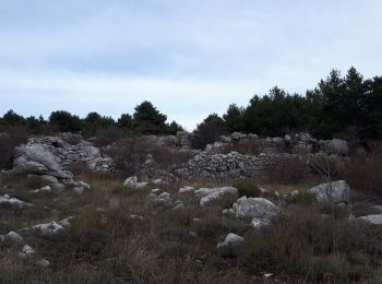
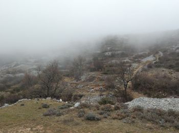
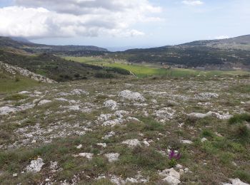
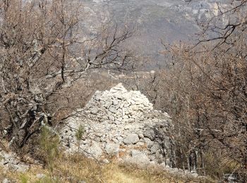
• Très beau plateau karstique. Restanques, Boris nombreuses bergeries
Marcia
Marcia
Marcia

A piedi
Marcia

Marcia
Marcia
Marcia
Marcia
Marcia

Marcia
• circuit
20 percorsi visualizzati su 44
Applicazione GPS da escursionismo GRATUITA
 SityTrail
IGN / Istituti geografici
SityTrail World
Il mondo è tuo