


9,6 km | 21 km-effort
La Roche-des-Arnauds: Scopri i migliori percorsi: 34 percorsi a piedi e 20 percorsi in bicicletta o MTB. Tutti questi percorsi, itinerari e attività outdoor sono disponibili nelle nostre app SityTrail per smartphone e tablet.
Marcia


Mountainbike
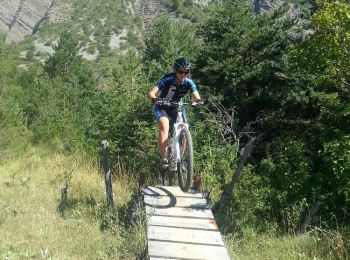
Mountainbike
Mountainbike
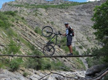
• Randonnée sous le massif du Dévoluy, très technique, avec du portage et à déconseiller aux personnes ayant le vertige...
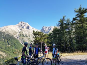
Mountainbike
Marcia
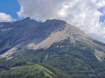
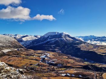
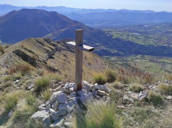
• Randonnée sans difficulté technique qui offre une très belle vue sur le massif du Dévoluy.
Marcia
Marcia
Marcia
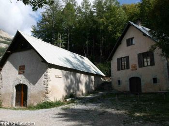
• Balade agréable. Montée un peu rude avant d'atteindre la vire au départ de la Plaine. Merci à ceux qui ont aménager s...
Marcia
Marcia
Marcia
Marcia
Marcia
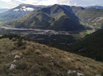
• Randonnée de difficulté moyenne, aucun passage difficile. Superbes panoramas. 2éme partie du retour un peu long et pa...
Marcia
• Parking un kilomètre cent cinquante a droite après avoir pris la piste de M atachare. Rando sportive .Aérienne sur u...

Marcia
• Balade agréable. Montée un peu rude avant d'atteindre la vire au départ de la Plaine. Merci à ceux qui ont aménager s...
Corsa a piedi
•
Marcia
Bici da strada
Marcia
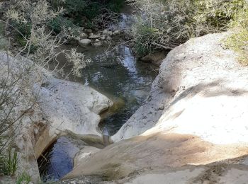
• remonter par le lit du torrent. Pas de difficultés particulières
20 percorsi visualizzati su 58
Applicazione GPS da escursionismo GRATUITA
 SityTrail
IGN / Istituti geografici
SityTrail World
Il mondo è tuo