


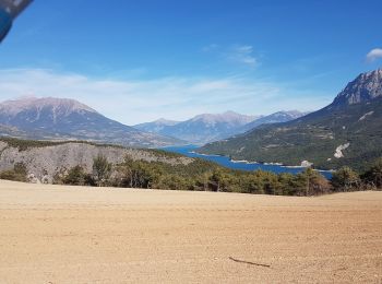
5,6 km | 10,4 km-effort
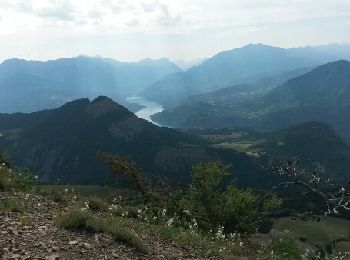
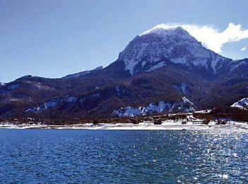
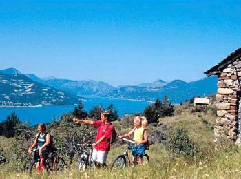
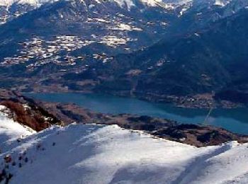
Rousset: Scopri i migliori percorsi: 21 percorsi a piedi e 6 percorsi in bicicletta o MTB. Tutti questi percorsi, itinerari e attività outdoor sono disponibili nelle nostre app SityTrail per smartphone e tablet.
Marcia


Marcia

Marcia
• attention par temps de pluie

Marcia
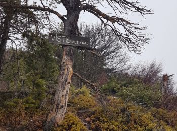
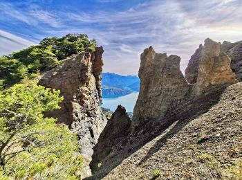
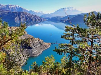
• du col de pré du laus la visite (la montée est rude)les crêtes(beau sentier)clôt morel Vière retour
Marcia
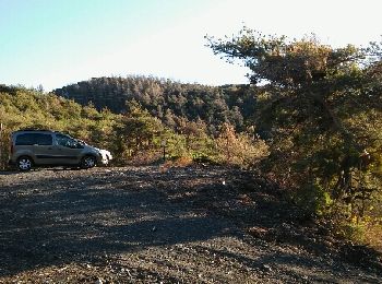
• Petite randonnée assez facile au départ du parking de la baie des Lionnets. Réalisable en 2h30 avec environ 450 mètre...
Marcia
• du col de pré du laus la visite (la montée est rude)les crêtes(beau sentier)clôt morel Vière retour
Marcia
•
Marcia
Marcia
Marcia
Corsa a piedi
• Trai de Rousset Serre Ponçon du 7 juin 2015.
Mountainbike
Mountainbike
Mountainbike

Marcia
Marcia
Marcia
Marcia
•
Marcia
Marcia
•
20 percorsi visualizzati su 29
Applicazione GPS da escursionismo GRATUITA
 SityTrail
IGN / Istituti geografici
SityTrail World
Il mondo è tuo