


8,3 km | 11 km-effort
Saint-Bonnet-en-Champsaur: Scopri i migliori percorsi: 6 percorsi a piedi, 12 percorsi in bicicletta o MTB e 1 percorsi a cavallo. Tutti questi percorsi, itinerari e attività outdoor sono disponibili nelle nostre app SityTrail per smartphone e tablet.
Marcia


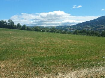
• Très variée routes chemins champs et sous bois, des montées et descentes mais pas mal de plats

Marcia
Mountainbike
Bicicletta elettrica
Bicicletta elettrica

Bicicletta elettrica

Marcia
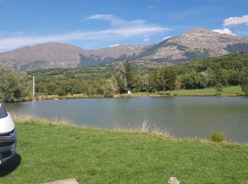
• Très variée routes chemins champs et sous bois, des montées et descentes mais pas mal de plats

Cavallo
Marcia

 23.951
sport
Bicicletta elettrica
Mountainbike
Bici da strada
Mountainbike
Mountainbike
Marcia
Mountainbike
Bicicletta
Bicicletta

Altra attività
20 percorsi visualizzati su 21
Applicazione GPS da escursionismo GRATUITA
 SityTrail
IGN / Istituti geografici
SityTrail World
Il mondo è tuo