


12 km | 23 km-effort
Réotier: Scopri i migliori percorsi: 19 percorsi a piedi e 1 percorsi in bicicletta o MTB. Tutti questi percorsi, itinerari e attività outdoor sono disponibili nelle nostre app SityTrail per smartphone e tablet.
Marcia


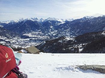
Sci alpinismo
Marcia
Marcia
Racchette da neve

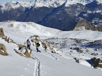
Sci alpinismo

 3.35
3.35
sport

Marcia
Marcia
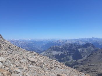
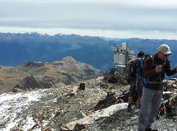
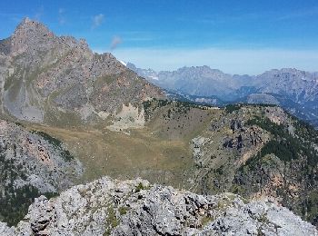
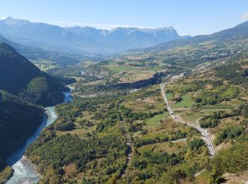
• Magnifique randonnée, point culminant 3200, avec vue sur le Mont Blanc, le parc des Ecrins et un panorama à 360°. En ...
Marcia

A piedi
Marcia
Marcia
Altra attività
• ski de Randonnée
Marcia
Altra attività
Marcia
12.855
sport
Marcia
Marcia
20 percorsi visualizzati su 31
Applicazione GPS da escursionismo GRATUITA
 SityTrail
IGN / Istituti geografici
SityTrail World
Il mondo è tuo