


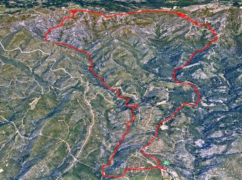
13,7 km | 20 km-effort
Allauch: Scopri i migliori percorsi: 405 percorsi a piedi e 68 percorsi in bicicletta o MTB. Tutti questi percorsi, itinerari e attività outdoor sono disponibili nelle nostre app SityTrail per smartphone e tablet.
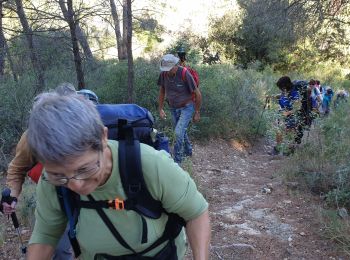
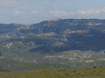
Marcia


• Parking chemin des Gages Allauch
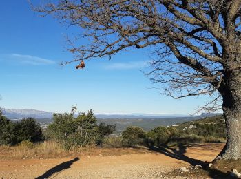
Marcia
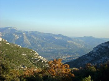
Marcia
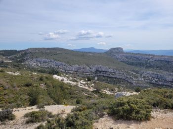
Marcia
Mountainbike
Mountainbike
Mountainbike
Marcia

Marcia
Marcia
Marcia
Marcia
Marcia
Marcia
Marcia
Mountainbike
Marcia
Mountainbike
Marcia
Altra attività
• départ de treille
20 percorsi visualizzati su 495
Applicazione GPS da escursionismo GRATUITA
 SityTrail
IGN / Istituti geografici
SityTrail World
Il mondo è tuo