


8,4 km | 10,9 km-effort
Lambesc: Scopri i migliori percorsi: 125 percorsi a piedi, 20 percorsi in bicicletta o MTB e 6 percorsi a cavallo. Tutti questi percorsi, itinerari e attività outdoor sono disponibili nelle nostre app SityTrail per smartphone e tablet.
Marcia


Marcia
Marcia
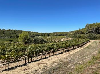
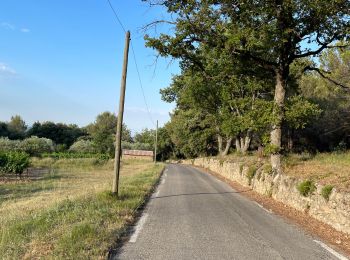
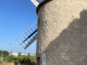
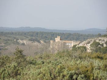
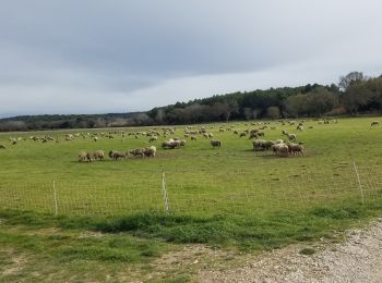
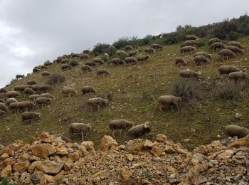
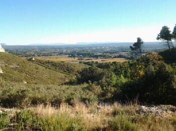
• Lambesc - Ste Anne de Goiron - Chaine des Côtes - hameau de Janet
Marcia
Marcia
Marcia
Marcia
Marcia
Marcia
Bici da strada
Marcia
Marcia
Marcia
Marcia
• marche
Marcia
Marcia

Marcia

Marcia
•
Marcia
•
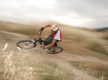
Mountainbike
20 percorsi visualizzati su 158
Applicazione GPS da escursionismo GRATUITA
 SityTrail
IGN / Istituti geografici
SityTrail World
Il mondo è tuo