


6,8 km | 11,1 km-effort
Courchevel: Scopri i migliori percorsi: 63 percorsi a piedi, 10 percorsi in bicicletta o MTB e 10 percorsi a cavallo. Tutti questi percorsi, itinerari e attività outdoor sono disponibili nelle nostre app SityTrail per smartphone e tablet.
Marcia


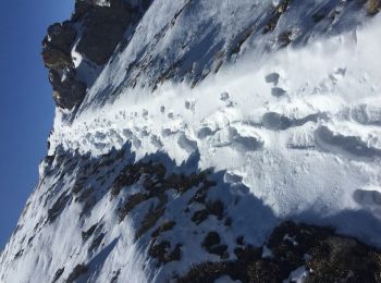
• Piste mal délimitée sur la fin

Marcia
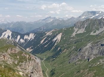
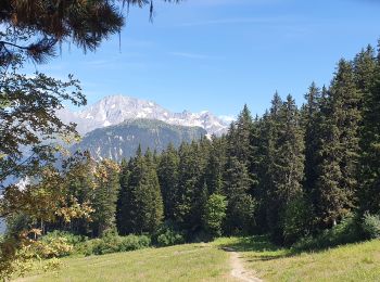
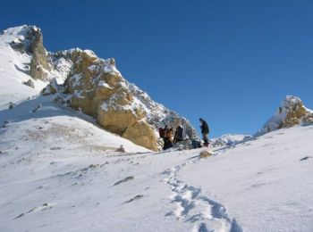
• Montée classique au départ de Courchevel 1650. Retour par la combe des Roches
Marcia
Marcia
Marcia
Marcia
Marcia
Mountainbike
Marcia
Marcia
Marcia
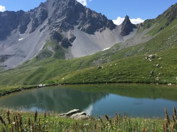
• Très beaux lacs glaciaires, deux refuges proches. Vue éblouissante sur le retour mais passage par les pistes avant la...
Marcia
• Très beaux lacs glaciaires, deux refuges proches. Vue éblouissante sur le retour mais passage par les pistes avant la...
Marcia
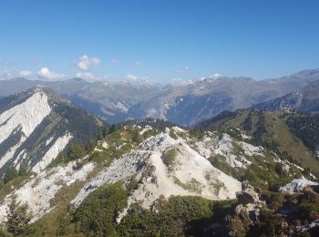
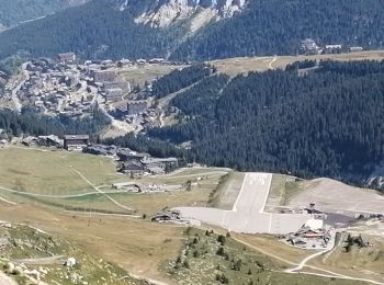
• Ascension de la Dent du Villars, 2280 mètres.
Marcia
Marcia
Marcia
Marcia

Sci alpino

 23.378
sport

Sci alpinismo
20 percorsi visualizzati su 106
Applicazione GPS da escursionismo GRATUITA
 SityTrail
IGN / Istituti geografici
SityTrail World
Il mondo è tuo