


7,8 km | 19,8 km-effort
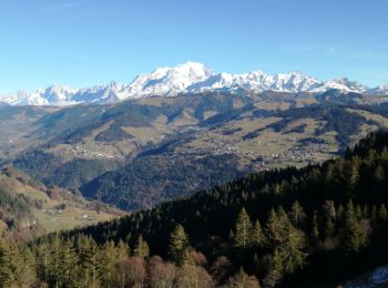
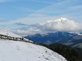
Ugine: Scopri i migliori percorsi: 57 percorsi a piedi e 8 percorsi in bicicletta o MTB. Tutti questi percorsi, itinerari e attività outdoor sono disponibili nelle nostre app SityTrail per smartphone e tablet.
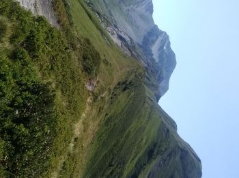
Marcia


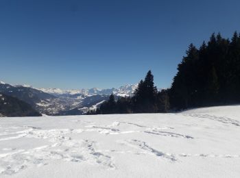
Racchette da neve
Via ferrata

Marcia
Marcia
Marcia
Marcia

Racchette da neve
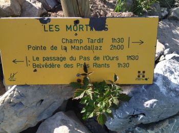
• Le Col de l''Arpettaz depuis Ugine
Marcia
Marcia
• Détails de la rando sur TraceGPS.com http://www.tracegps.com/fr/parcours/circuit1950.htm

Macchina
Marcia
Marcia
Marcia

A piedi
Marcia
Marcia
Marcia

Bicicletta
• D'Ugine à Ugine - GPX Track
Camminata nordica
• Agréable
20 percorsi visualizzati su 79
Applicazione GPS da escursionismo GRATUITA
 SityTrail
IGN / Istituti geografici
SityTrail World
Il mondo è tuo