


8,2 km | 17,9 km-effort
Beaufort: Scopri i migliori percorsi: 422 percorsi a piedi e 28 percorsi in bicicletta o MTB. Tutti questi percorsi, itinerari e attività outdoor sono disponibili nelle nostre app SityTrail per smartphone e tablet.
Marcia


Marcia
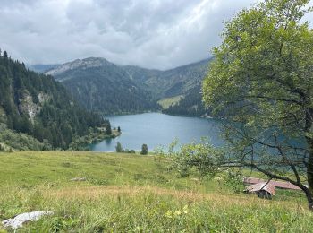
• Randonnée du refuge du Plan de la Laie au refuge du col de la croix du Bonhomme par le col de la Sauce et la crête de...

Marcia
Marcia
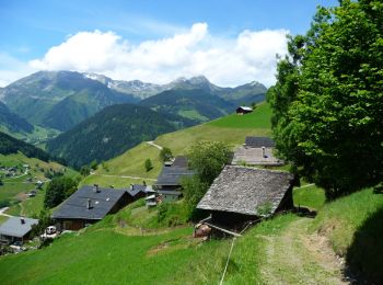
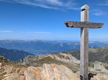
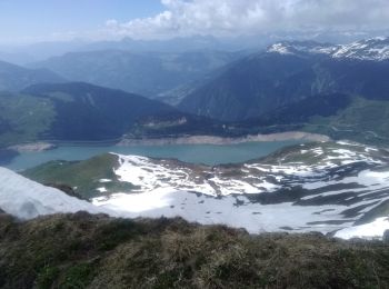
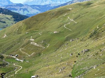
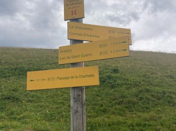
• Beaufortain
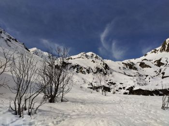
Sci alpinismo
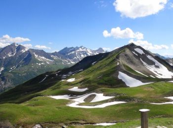
Sci alpinismo
Sci alpinismo
Marcia
Marcia
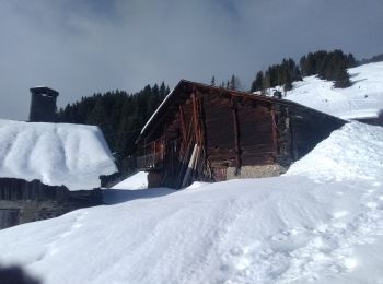
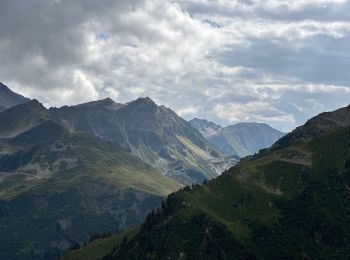
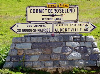
• Obligation de prendre la route jusqu'au Cormet de Roselend, mais ça passe très vite. Très belle montée sans difficult...
Marcia
Marcia
Marcia
Marcia

Marcia
Marcia
Marcia

Marcia
Marcia
Marcia
Marcia
20 percorsi visualizzati su 593
Applicazione GPS da escursionismo GRATUITA
 SityTrail
IGN / Istituti geografici
SityTrail World
Il mondo è tuo