


5,8 km | 7,5 km-effort
Dourdan: Scopri i migliori percorsi: 165 percorsi a piedi e 11 percorsi in bicicletta o MTB. Tutti questi percorsi, itinerari e attività outdoor sono disponibili nelle nostre app SityTrail per smartphone e tablet.

A piedi


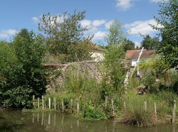
• balisage orange en forêt de Dourdan à rattacher aux bons itinéraires Symbol: orange

A piedi
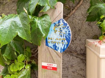
• Symbol: blue

Camminata nordica

Marcia
A piedi
Marcia

Marcia
A piedi
• Symbol: yellow
Marcia
Marcia
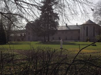
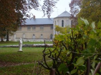
• abbaye de l'ouye Dourdan
Marcia

Marcia
• D'après environs de Paris Ref RE01 Fusion circuit 45 et 46
Marcia
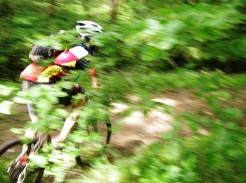
Mountainbike
Marcia
Marcia
Marcia
Marcia
Marcia
Marcia
20 percorsi visualizzati su 184
Applicazione GPS da escursionismo GRATUITA
 SityTrail
IGN / Istituti geografici
SityTrail World
Il mondo è tuo