


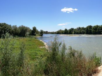
3,7 km | 4,4 km-effort
Saragozza: Scopri i migliori percorsi: 14 percorsi a piedi. Tutti questi percorsi, itinerari e attività outdoor sono disponibili nelle nostre app SityTrail per smartphone e tablet.
A piedi


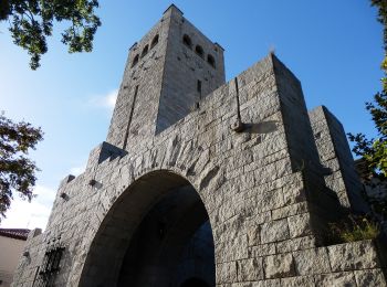
• Trail created by Ayuntamiento de Zaragoza. Sito web: https://www.zaragoza.es/sede/portal/medioambiente/infraestruc...
A piedi
• Trail created by Zaragoza Deporte. Sito web: https://zaragozanda.zaragozadeporte.com/Ruta11.asp

A piedi
• Trail created by Zaragoza Deporte. Sito web: https://zaragozanda.zaragozadeporte.com/Ruta10.asp
A piedi
• Trail created by Zaragoza Deporte. Sito web: https://zaragozanda.zaragozadeporte.com/Ruta9.asp
A piedi
• Trail created by Zaragoza Deporte. Sito web: https://zaragozanda.zaragozadeporte.com/Ruta7.asp
A piedi
• Trail created by Zaragoza Deporte. Sito web: https://zaragozanda.zaragozadeporte.com/Ruta3.asp
A piedi
• Trail created by Zaragoza Deporte. Sito web: https://zaragozanda.zaragozadeporte.com/Ruta2.asp
A piedi
• Trail created by Zaragoza Deporte. Sito web: https://zaragozanda.zaragozadeporte.com/Ruta1.asp

A piedi
• Trail created by Zaragoza Deporte. Sito web: https://zaragozanda.zaragozadeporte.com/Ruta4.asp
A piedi
• Trail created by Zaragoza Deporte. Sito web: https://zaragozanda.zaragozadeporte.com/Ruta6.asp
A piedi
• Trail created by Zaragoza Deporte. Sito web: https://zaragozanda.zaragozadeporte.com/Ruta8.asp
A piedi
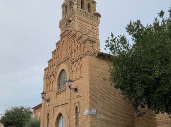
• Trail created by Ayuntamiento de Zaragoza.
4x4

4x4
4x4
4x4

Marcia
Marcia
18 percorsi visualizzati su 18
Applicazione GPS da escursionismo GRATUITA
 SityTrail
IGN / Istituti geografici
SityTrail World
Il mondo è tuo