


5,9 km | 9,9 km-effort
Pontevedra: Scopri i migliori percorsi: 33 percorsi a piedi. Tutti questi percorsi, itinerari e attività outdoor sono disponibili nelle nostre app SityTrail per smartphone e tablet.
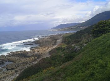
A piedi


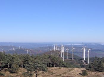
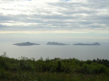
• Realizar esta ruta de sur a norte por la Serra do Faro permite disfrutar de amplias panorámicas en días despejados. L...

A piedi
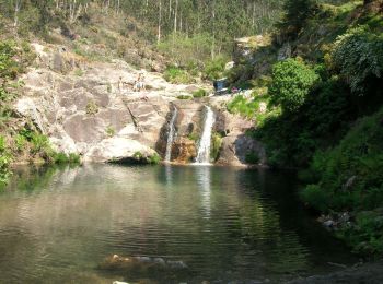
A piedi

A piedi
A piedi

A piedi
A piedi

A piedi
Marcia
A piedi
A piedi
A piedi
Marcia

Marcia
Marcia
Marcia
Marcia
Marcia
Marcia
Marcia
20 percorsi visualizzati su 35
Applicazione GPS da escursionismo GRATUITA
 SityTrail
IGN / Istituti geografici
SityTrail World
Il mondo è tuo