


8 km | 12,2 km-effort
Los Realejos: Scopri i migliori percorsi: 15 percorsi a piedi. Tutti questi percorsi, itinerari e attività outdoor sono disponibili nelle nostre app SityTrail per smartphone e tablet.
Altra attività


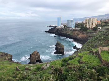
• Vous partez de l hôtel marine pour une rando de 8 km oscillant entre montées et descentes d amplitudes modérées. Chem...
A piedi
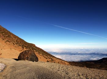
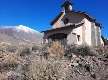
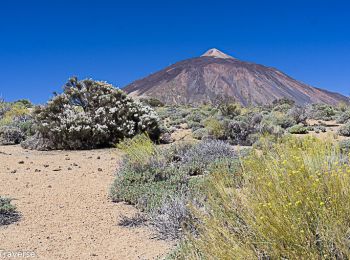
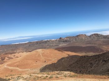
• Trail created by Parque Nacional del Teide.
A piedi
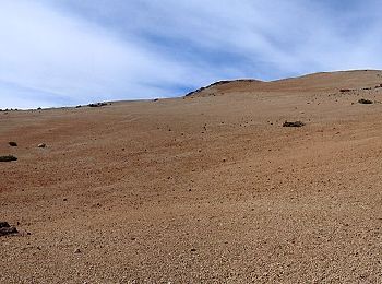
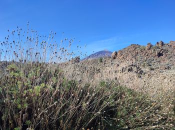
• Trail created by Parque Nacional del Teide.
A piedi
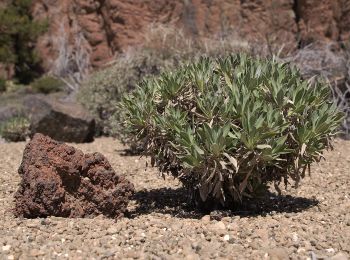
• Trail created by Parque Nacional del Teide. Sito web: http://www.vierayclavijo.org/html/paginas/cursos/cursos_2006...
A piedi
• Trail created by Parque Nacional del Teide.

Marcia
Marcia
Marcia
A piedi
Marcia
Marcia
Marcia
Marcia
Marcia
Marcia
Marcia
16 percorsi visualizzati su 16
Applicazione GPS da escursionismo GRATUITA
 SityTrail
IGN / Istituti geografici
SityTrail World
Il mondo è tuo