


21 km | 23 km-effort
Landkreis Rotenburg (Wümme): Scopri i migliori percorsi: 28 percorsi a piedi. Tutti questi percorsi, itinerari e attività outdoor sono disponibili nelle nostre app SityTrail per smartphone e tablet.
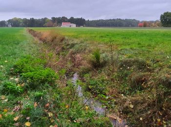
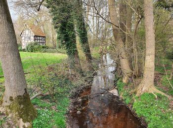
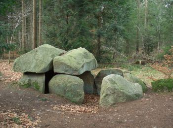
A piedi


• Trail created by Touristikverband Landkreis Rotenburg (Wümme). Symbol: weißes, stilisiertes N auf orangenem Grund, d...
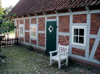
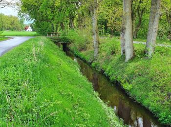
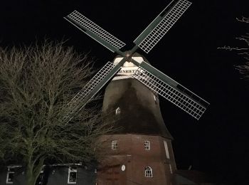
A piedi
• Trail created by Touristikverband Landkreis Rotenburg (Wümme). Symbol: weißes, stilisiertes N auf orangenem Grund, d...
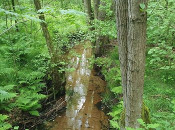
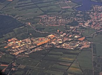
A piedi
• Trail created by Touristikverband Landkreis Rotenburg (Wümme). Symbol: weißes, stilisiertes N auf orangenem Grund, d...
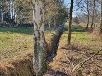
A piedi
• Trail created by Touristikverband Landkreis Rotenburg. Symbol: weißes, stilisiertes N auf orangenem Grund, darunter ...
A piedi
• Trail created by Touristikverband Landkreis Rotenburg. Symbol: weißes, stilisiertes N auf orangenem Grund, darunter ...
A piedi
• Trail created by Touristikverband Landkreis Rotenburg. Symbol: weißes, stilisiertes N auf orangenem Grund, darunter ...
A piedi
• Trail created by Touristikverband Landkreis Rotenburg. Symbol: weißes, stilisiertes N auf orangenem Grund, darunter ...
A piedi
• Trail created by Touristikverband Landkreis Rotenburg. Symbol: weißes, stilisiertes N auf orangenem Grund, darunter ...
A piedi
• Trail created by Touristikverband Landkreis Rotenburg. Symbol: weißes, stilisiertes N auf orangenem Grund, darunter ...
A piedi
• Trail created by Touristikverband Landkreis Rotenburg. Symbol: weißes, stilisiertes N auf orangenem Grund, darunter ...
A piedi
• Trail created by Touristikverband Landkreis Rotenburg. Symbol: weißes, stilisiertes N auf orangenem Grund, darunter ...
A piedi
• Trail created by Touristikverband Landkreis Rotenburg. Symbol: weißes, stilisiertes N auf orangenem Grund, darunter ...
A piedi
• Trail created by Touristikverband Landkreis Rotenburg (Wümme). Symbol: weißes, stilisiertes N auf orangenem Grund, d...
A piedi
• Trail created by Touristikverband Landkreis Rotenburg. Symbol: weißes, stilisiertes N auf orangenem Grund, darunter ...
A piedi
• Trail created by Touristikverband Landkreis Rotenburg. Symbol: weißes, stilisiertes N auf orangenem Grund, darunter ...
A piedi
• Trail created by Touristikverband Landkreis Rotenburg. Symbol: weißes, stilisiertes N auf orangenem Grund, darunter ...
A piedi
• Trail created by Touristikverband Landkreis Rotenburg. Symbol: weißes, stilisiertes N auf orangenem Grund, darunter ...
A piedi
• Trail created by Touristikverband Landkreis Rotenburg. Symbol: weißes, stilisiertes N auf orangenem Grund, darunter ...
A piedi
• Trail created by Touristikverband Landkreis Rotenburg. Symbol: weißes, stilisiertes N auf orangenem Grund, darunter ...
A piedi
• Trail created by Touristikverband Landkreis Rotenburg. Symbol: weißes, stilisiertes N auf orangenem Grund, darunter ...
20 percorsi visualizzati su 28
Applicazione GPS da escursionismo GRATUITA
 SityTrail
IGN / Istituti geografici
SityTrail World
Il mondo è tuo