


13,5 km | 18,9 km-effort
Lahn-Dill-Kreis: Scopri i migliori percorsi: 52 percorsi a piedi. Tutti questi percorsi, itinerari e attività outdoor sono disponibili nelle nostre app SityTrail per smartphone e tablet.
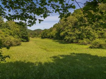
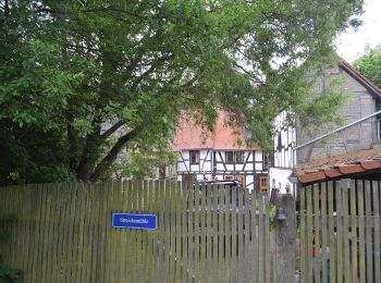
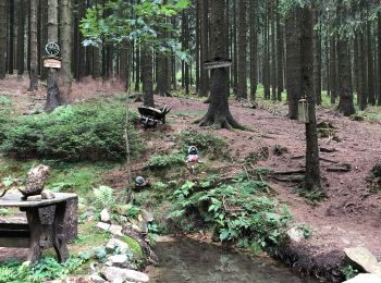
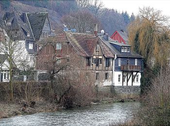
A piedi


• Trail created by Rothaarsteigverein.
A piedi
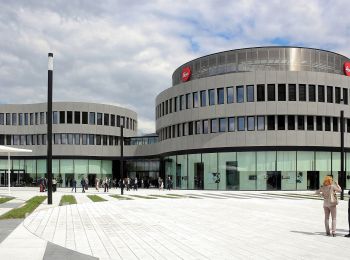
• Trail created by Leitz-Park GmbH. Symbol: red circle with white Leica
A piedi
• Trail created by Naturpark Taunus. Symbol: Grünes Eichenblatt auf weißem Grund
A piedi
• Rothaarsteig Sito web: https://www.rothaarsteig.de/
A piedi
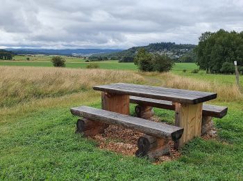
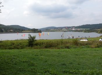
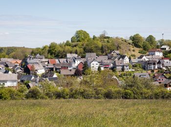
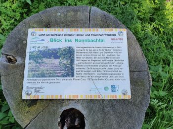
• Trail created by Naturpark Lahn-Dill-Bergland. Symbol: stilisierter Berg und Fluß in Grün auf weißem Grund
A piedi
• Trail created by Naturpark Lahn-Dill-Bergland. Symbol: stilisierter Berg und Fluß in Grün auf weißem Grund
A piedi
• Trail created by Naturpark Lahn-Dill-Bergland. Symbol: stilisierter Berg und Fluß in Grün auf weißem Grund
A piedi
• Trail created by Naturpark Lahn-Dill-Bergland. Symbol: stilisierter Berg und Fluß in Grün auf weißem Grund
A piedi
• Trail created by Naturpark Lahn-Dill-Bergland. Symbol: stilisierter Berg und Fluß in Grün auf weißem Grund
A piedi
• Trail created by Wanderfreunde Aartal e. V..
A piedi
• Trail created by Rothaarsteigverein.
A piedi
• Trail created by Westerwaldverein Herborn e.V..
A piedi
• Trail created by Wanderfreunde Katzenfurt. Symbol: Roter Text PW 1 10 auf gelbem Grund
A piedi
• Trail created by Naturpark Lahn-Dill-Bergland. Symbol: stilisierter Berg und Fluß in Grün auf weißem Grund
A piedi
• Trail created by Lahntal Tourismus Verband e.V.. Symbol: Stilisiertes LW in roter Schrift auf gelbem Grund mit rotem...
A piedi
• Trail created by Wanderfreunde Herborn e.V..
A piedi
• Trail created by Westerwaldverein Herborn e.V..
A piedi
• Trail created by Westerwaldverein Herborn e.V..
A piedi
• Trail created by Westerwaldverein Herborn e.V..
A piedi
• Trail created by Westerwaldverein Herborn e.V..
20 percorsi visualizzati su 52
Applicazione GPS da escursionismo GRATUITA
 SityTrail
IGN / Istituti geografici
SityTrail World
Il mondo è tuo