![](/images/other/stat-length.png)
- Percorsi
- Outdoor
- Germany
- Assia
- Kreis Bergstraße
- Neckarsteinach
Neckarsteinach, Kreis Bergstraße : I migliori sentieri, percorsi e passeggiate
Neckarsteinach: Scopri i migliori percorsi: 14 percorsi a piedi. Tutti questi percorsi, itinerari e attività outdoor sono disponibili nelle nostre app SityTrail per smartphone e tablet.
I percorsi migliori (0})
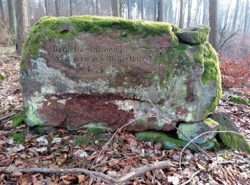
![Percorso A piedi Neckarsteinach - Rundwanderweg Neckarsteinach Kreuzschlag 4: Felsenmeer-Weg - Photo](https://media.geolcdn.com/t/350/260/fffb875e-e6c4-48f5-a00c-f9b284216e39.jpeg&format=jpg&maxdim=2)
![A piedi A piedi](https://static1.geolcdn.com/sitytour/trail-icons/100.png)
Km
A piedi
![](/images/other/stat-length.png)
![](https://static1.geolcdn.com/siteimages/upload/files/1508320355ic_sort_den_pos_24dp.png)
![](https://static1.geolcdn.com/siteimages/upload/files/1508320355ic_sort_den_neg_24dp.png)
![](https://static1.geolcdn.com/siteimages/upload/files/16400158638029165_repeat_loop_refresh_sync_direction_icon.png)
• Trail created by Geo-Naturpark Bergstraße-Odenwald. Symbol: Gelbe 4 im gelben Kreis
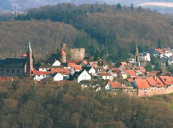
![Percorso A piedi Neckarsteinach - Rundwanderweg Neckarsteinach Kaisereiche 9: Philosophen-Weg - Photo](https://media.geolcdn.com/t/350/260/3df774ce-6159-4bdc-aed3-cbf9ce3c0ead.jpeg&format=jpg&maxdim=2)
![A piedi A piedi](https://static1.geolcdn.com/sitytour/trail-icons/100.png)
Km
A piedi
![](/images/other/stat-length.png)
![](https://static1.geolcdn.com/siteimages/upload/files/1508320355ic_sort_den_pos_24dp.png)
![](https://static1.geolcdn.com/siteimages/upload/files/1508320355ic_sort_den_neg_24dp.png)
![](https://static1.geolcdn.com/siteimages/upload/files/16400158638029165_repeat_loop_refresh_sync_direction_icon.png)
• Trail created by Geo-Naturpark Bergstraße-Odenwald. Symbol: Gelbe 9 im gelben Kreis
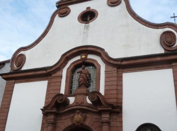
![Percorso A piedi Neckarsteinach - Rundwanderweg Neckarsteinach Kaisereiche 11: Mannheimer-Hütten-Weg - Photo](https://media.geolcdn.com/t/350/260/b63ebb44-4101-4286-8655-bf0dbed665ee.jpeg&format=jpg&maxdim=2)
![A piedi A piedi](https://static1.geolcdn.com/sitytour/trail-icons/100.png)
Km
A piedi
![](/images/other/stat-length.png)
![](https://static1.geolcdn.com/siteimages/upload/files/1508320355ic_sort_den_pos_24dp.png)
![](https://static1.geolcdn.com/siteimages/upload/files/1508320355ic_sort_den_neg_24dp.png)
![](https://static1.geolcdn.com/siteimages/upload/files/16400158638029165_repeat_loop_refresh_sync_direction_icon.png)
• Trail created by Geo-Naturpark Bergstraße-Odenwald. Symbol: Gelbe 11 im gelben Kreis
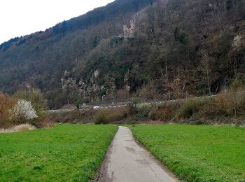
![Percorso A piedi Neckarsteinach - Rundwanderweg Neckarsteinach Unter den 4 Burgen 2: Brunnenberg-Weg - Photo](https://media.geolcdn.com/t/350/260/49d33046-ddb3-4332-b602-f38d9e7f9bc0.jpeg&format=jpg&maxdim=2)
![A piedi A piedi](https://static1.geolcdn.com/sitytour/trail-icons/100.png)
Km
A piedi
![](/images/other/stat-length.png)
![](https://static1.geolcdn.com/siteimages/upload/files/1508320355ic_sort_den_pos_24dp.png)
![](https://static1.geolcdn.com/siteimages/upload/files/1508320355ic_sort_den_neg_24dp.png)
![](https://static1.geolcdn.com/siteimages/upload/files/16400158638029165_repeat_loop_refresh_sync_direction_icon.png)
• Trail created by Naturpark Bergstraße-Odenwald. Symbol: Gelbe 2 im gelben Kreis
![Percorso A piedi Neckarsteinach - Rundwanderweg Neckarsteinach Kaisereiche 10: Goetheblick-Weg - Photo](https://media.geolcdn.com/t/350/260/3df774ce-6159-4bdc-aed3-cbf9ce3c0ead.jpeg&format=jpg&maxdim=2)
![A piedi A piedi](https://static1.geolcdn.com/sitytour/trail-icons/100.png)
Km
A piedi
![](/images/other/stat-length.png)
![](https://static1.geolcdn.com/siteimages/upload/files/1508320355ic_sort_den_pos_24dp.png)
![](https://static1.geolcdn.com/siteimages/upload/files/1508320355ic_sort_den_neg_24dp.png)
![](https://static1.geolcdn.com/siteimages/upload/files/16400158638029165_repeat_loop_refresh_sync_direction_icon.png)
• Trail created by Geo-Naturpark Bergstraße-Odenwald. Symbol: Gelbe 10 im gelben Kreis
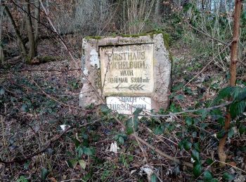
![Percorso A piedi Neckarsteinach - Rundwanderweg Neckarsteinach 2: Lanzenbach-Weg - Photo](https://media.geolcdn.com/t/350/260/91e668e9-b9d4-4603-825f-40df00691003.jpeg&format=jpg&maxdim=2)
![A piedi A piedi](https://static1.geolcdn.com/sitytour/trail-icons/100.png)
Km
A piedi
![](/images/other/stat-length.png)
![](https://static1.geolcdn.com/siteimages/upload/files/1508320355ic_sort_den_pos_24dp.png)
![](https://static1.geolcdn.com/siteimages/upload/files/1508320355ic_sort_den_neg_24dp.png)
![](https://static1.geolcdn.com/siteimages/upload/files/16400158638029165_repeat_loop_refresh_sync_direction_icon.png)
• Trail created by Geo-Naturpark Bergstraße-Odenwald. Symbol: Weiße 2 in einem oben offenen Kreis, darüber weißes Ns
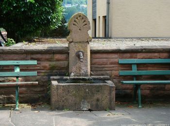
![Percorso A piedi Neckarsteinach - Rundwanderweg Neckarsteinach 4: Ruhstein-Weg - Photo](https://media.geolcdn.com/t/350/260/96d072dd-e918-4a37-b2bc-5e91275721de.jpeg&format=jpg&maxdim=2)
![A piedi A piedi](https://static1.geolcdn.com/sitytour/trail-icons/100.png)
Km
A piedi
![](/images/other/stat-length.png)
![](https://static1.geolcdn.com/siteimages/upload/files/1508320355ic_sort_den_pos_24dp.png)
![](https://static1.geolcdn.com/siteimages/upload/files/1508320355ic_sort_den_neg_24dp.png)
![](https://static1.geolcdn.com/siteimages/upload/files/16400158638029165_repeat_loop_refresh_sync_direction_icon.png)
• Trail created by Naturpark Bergstraße-Odenwald. Symbol: Weiße 4 in einem oben offenen Kreis, darüber weißes Ns
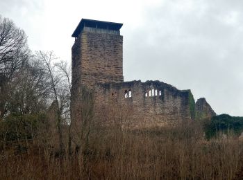
![Percorso A piedi Neckarsteinach - Rundwanderweg Neckarsteinach Unter den 4 Burgen 3: Ochsenkopf-Weg - Photo](https://media.geolcdn.com/t/350/260/9c090da5-c6f8-4b91-b3d5-7e07a5767688.jpeg&format=jpg&maxdim=2)
![A piedi A piedi](https://static1.geolcdn.com/sitytour/trail-icons/100.png)
Km
A piedi
![](/images/other/stat-length.png)
![](https://static1.geolcdn.com/siteimages/upload/files/1508320355ic_sort_den_pos_24dp.png)
![](https://static1.geolcdn.com/siteimages/upload/files/1508320355ic_sort_den_neg_24dp.png)
![](https://static1.geolcdn.com/siteimages/upload/files/16400158638029165_repeat_loop_refresh_sync_direction_icon.png)
• Trail created by Naturpark Bergstraße-Odenwald. Symbol: Gelbe 3 im gelben Kreis
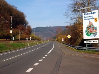
![Percorso A piedi Neckarsteinach - Rundwanderweg Neckarhausen 1: Michelbuch-Weg - Photo](https://media.geolcdn.com/t/350/260/9d9551d9-6a8a-4a04-8195-014bb7ae8dea.jpeg&format=jpg&maxdim=2)
![A piedi A piedi](https://static1.geolcdn.com/sitytour/trail-icons/100.png)
Km
A piedi
![](/images/other/stat-length.png)
![](https://static1.geolcdn.com/siteimages/upload/files/1508320355ic_sort_den_pos_24dp.png)
![](https://static1.geolcdn.com/siteimages/upload/files/1508320355ic_sort_den_neg_24dp.png)
![](https://static1.geolcdn.com/siteimages/upload/files/16400158638029165_repeat_loop_refresh_sync_direction_icon.png)
• Trail created by Naturpark Bergstraße-Odenwald. Symbol: Weiße 1 im oben offenen Kreis, darin ein Nh
![Percorso A piedi Neckarsteinach - Rundwanderweg Neckarsteinach Kreuzschlag 3: Michelbuch-Weg - Photo](https://media.geolcdn.com/t/350/260/fffb875e-e6c4-48f5-a00c-f9b284216e39.jpeg&format=jpg&maxdim=2)
![A piedi A piedi](https://static1.geolcdn.com/sitytour/trail-icons/100.png)
Km
A piedi
![](/images/other/stat-length.png)
![](https://static1.geolcdn.com/siteimages/upload/files/1508320355ic_sort_den_pos_24dp.png)
![](https://static1.geolcdn.com/siteimages/upload/files/1508320355ic_sort_den_neg_24dp.png)
![](https://static1.geolcdn.com/siteimages/upload/files/16400158638029165_repeat_loop_refresh_sync_direction_icon.png)
• Trail created by Naturpark Neckartal-Odenwald. Symbol: Gelbe3 im gelben Kreis
![Percorso A piedi Neckarsteinach - Rundwanderweg Neckarsteinach Kreuzschlag 2: Pfalzwald-Weg - Photo](https://media.geolcdn.com/t/350/260/fffb875e-e6c4-48f5-a00c-f9b284216e39.jpeg&format=jpg&maxdim=2)
![A piedi A piedi](https://static1.geolcdn.com/sitytour/trail-icons/100.png)
Km
A piedi
![](/images/other/stat-length.png)
![](https://static1.geolcdn.com/siteimages/upload/files/1508320355ic_sort_den_pos_24dp.png)
![](https://static1.geolcdn.com/siteimages/upload/files/1508320355ic_sort_den_neg_24dp.png)
![](https://static1.geolcdn.com/siteimages/upload/files/16400158638029165_repeat_loop_refresh_sync_direction_icon.png)
• Trail created by Naturpark Neckartal-Odenwald. Symbol: Gelbe 2 im gelben Kreis
![Percorso A piedi Neckarsteinach - Rundwanderweg Neckarsteinach 3: Dilsberg-Weg - Photo](https://media.geolcdn.com/t/350/260/49d33046-ddb3-4332-b602-f38d9e7f9bc0.jpeg&format=jpg&maxdim=2)
![A piedi A piedi](https://static1.geolcdn.com/sitytour/trail-icons/100.png)
Km
A piedi
![](/images/other/stat-length.png)
![](https://static1.geolcdn.com/siteimages/upload/files/1508320355ic_sort_den_pos_24dp.png)
![](https://static1.geolcdn.com/siteimages/upload/files/1508320355ic_sort_den_neg_24dp.png)
![](https://static1.geolcdn.com/siteimages/upload/files/16400158638029165_repeat_loop_refresh_sync_direction_icon.png)
• Trail created by Geo-Naturpark Bergstraße-Odenwald. Symbol: Weiße 3 in einem oben offenen Kreis, darüber weißes Ns
![Percorso A piedi Neckarsteinach - Rundwanderweg Darsberger Kapelle 7: Lanzenbach-Weg - Photo](https://media.geolcdn.com/t/350/260/ext.jpg?maxdim=2&url=https%3A%2F%2Fstatic1.geolcdn.com%2Fsiteimages%2Fupload%2Ffiles%2F1545311037marcheuse_200dpi.jpg)
![A piedi A piedi](https://static1.geolcdn.com/sitytour/trail-icons/100.png)
Km
A piedi
![](/images/other/stat-length.png)
![](https://static1.geolcdn.com/siteimages/upload/files/1508320355ic_sort_den_pos_24dp.png)
![](https://static1.geolcdn.com/siteimages/upload/files/1508320355ic_sort_den_neg_24dp.png)
![](https://static1.geolcdn.com/siteimages/upload/files/16400158638029165_repeat_loop_refresh_sync_direction_icon.png)
• Trail created by Geo-Naturpark Bergstraße-Odenwald. Symbol: Gelbe 7 im gelben Kreis
![Percorso A piedi Neckarsteinach - Rundwanderweg Langenthal 3: - Photo](https://media.geolcdn.com/t/350/260/ext.jpg?maxdim=2&url=https%3A%2F%2Fstatic1.geolcdn.com%2Fsiteimages%2Fupload%2Ffiles%2F1545311037marcheuse_200dpi.jpg)
![A piedi A piedi](https://static1.geolcdn.com/sitytour/trail-icons/100.png)
Km
A piedi
![](/images/other/stat-length.png)
![](https://static1.geolcdn.com/siteimages/upload/files/1508320355ic_sort_den_pos_24dp.png)
![](https://static1.geolcdn.com/siteimages/upload/files/1508320355ic_sort_den_neg_24dp.png)
![](https://static1.geolcdn.com/siteimages/upload/files/16400158638029165_repeat_loop_refresh_sync_direction_icon.png)
• Trail created by Geo-Naturpark Bergstraße-Odenwald. Symbol: Weiße 3 in einem oben offenen Kreis, darüber weißes L
14 percorsi visualizzati su 14
Applicazione GPS da escursionismo GRATUITA