


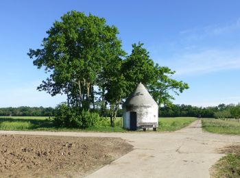
4,9 km | 5,5 km-effort
Kreis Groß-Gerau: Scopri i migliori percorsi: 10 percorsi a piedi. Tutti questi percorsi, itinerari e attività outdoor sono disponibili nelle nostre app SityTrail per smartphone e tablet.
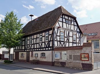
A piedi


• Trail created by Geo-Naturpark Bergstraße-Odenwald. Symbol: Yellow 1 in yellow circle
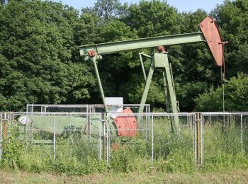
A piedi
• Trail created by Geo-Naturpark Bergstraße-Odenwald. Symbol: Yellow 2 in yellow circle
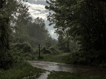
A piedi
• Trail created by Geo-Naturpark Bergstraße-Odenwald. Symbol: Yellow 3 in yellow circle
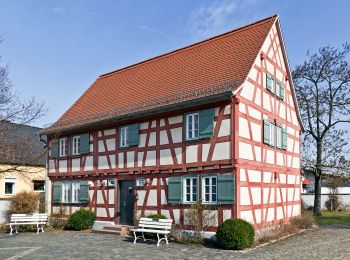
A piedi
• Trail created by Geo-Naturpark Bergstraße-Odenwald. Symbol: Yellow 4 in yellow circle
A piedi
• Trail created by Geo-Naturpark Bergstraße-Odenwald. Symbol: Yellow 5 in yellow circle
A piedi
• Symbol: blaue Flussschleife auf weißem Grund
A piedi
• Trail created by Geo-Naturpark Bergstraße-Odenwald. Symbol: Yellow 5 in yellow circle

A piedi
• Trail created by Geo-Naturpark Bergstraße-Odenwald. Symbol: Yellow 4 in yellow circle
A piedi
• Trail created by Geo-Naturpark Bergstraße-Odenwald. Symbol: Yellow 3 in yellow circle
A piedi

Motoscafo
11 percorsi visualizzati su 11
Applicazione GPS da escursionismo GRATUITA
 SityTrail
IGN / Istituti geografici
SityTrail World
Il mondo è tuo