


6,8 km | 12,3 km-effort
Iserlohn: Scopri i migliori percorsi: 18 percorsi a piedi. Tutti questi percorsi, itinerari e attività outdoor sono disponibili nelle nostre app SityTrail per smartphone e tablet.
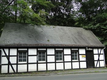
A piedi


• Trail created by Sauerländischer Gebirgsverein.
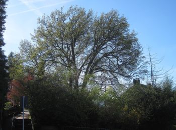
A piedi
• Trail created by Sauerländischer Gebirgsverein.
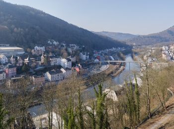
A piedi
• Trail created by Sauerländischer Gebirgsverein.
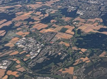
A piedi
• Trail created by Sauerländischer Gebirgsverein.
A piedi
• Trail created by Sauerländischer Gebirgsverein.
A piedi
• Trail created by Sauerländischer Gebirgsverein.
A piedi
• Trail created by Sauerländischer Gebirgsverein.
A piedi
• Trail created by Sauerländischer Gebirgsverein.
A piedi
• Trail created by Sauerländischer Gebirgsverein.
A piedi
• Trail created by Sauerländischer Gebirgsverein.
A piedi
• Trail created by Sauerländischer Gebirgsverein (SGV). Symbol: Weißes AL in weißem Kreis auf schwarzem Grund
A piedi
A piedi
A piedi
A piedi
A piedi

A piedi
A piedi
18 percorsi visualizzati su 18
Applicazione GPS da escursionismo GRATUITA
 SityTrail
IGN / Istituti geografici
SityTrail World
Il mondo è tuo