


9,4 km | 12,8 km-effort
Kreis Steinfurt: Scopri i migliori percorsi: 24 percorsi a piedi e 8 percorsi in bicicletta o MTB. Tutti questi percorsi, itinerari e attività outdoor sono disponibili nelle nostre app SityTrail per smartphone e tablet.
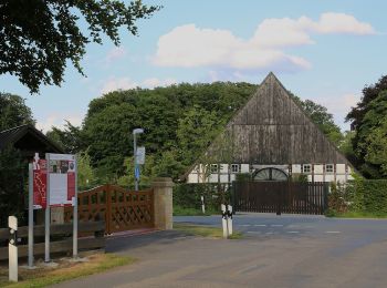
A piedi


• Trail created by Tecklenburger Land-Tourismus. Symbol: stilisiertes Schleifenmuster mit Schriftzug Teutoschleife und...
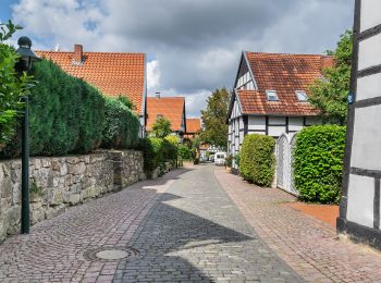
A piedi
• Trail created by Tecklenburger Land-Tourismus. Symbol: stilisiertes Schleifenmuster mit Schriftzug Teutoschleife und...
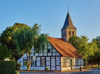
A piedi
• Trail created by Tecklenburger Land-Tourismus. Symbol: stilisiertes Schleifenmuster mit Schriftzug Teutoschleife und...
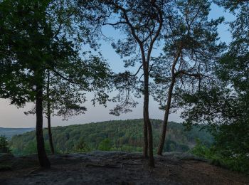
A piedi
• Trail created by Tecklenburger Land-Tourismus. Symbol: stilisiertes Schleifenmuster mit Schriftzug Teutoschleife und...
A piedi
• Trail created by Tecklenburger Land Tourismus e. V.. Symbol: Schriftzug "Teutoschleifchen Köllbachtal";blaue, horizo...
A piedi
• Trail created by Tecklenburger Land Tourismus e. V.. Symbol: chriftzug "Teutoschleifchen Modersohns Spuren";blaue, h...
A piedi
• Trail created by Tecklenburger Land Tourismus e. V.. Symbol: Schriftzug "Teutoschleifchen Brochterbecker Landpartie"...
A piedi
• Trail created by Tecklenburger Land Tourismus e. V.. Symbol: Schriftzug "Teutoschleifchen Dreikaiserstuhl"; blaue, h...
A piedi
• Trail created by Tecklenburger Land Tourismus e. V.. Symbol: Schriftzug "Teutoschleifchen Canyon Tour"; blaue, horiz...
A piedi
• Trail created by Tecklenburger Land Tourismus e.V.. Symbol: Schriftzug "Teutoschleifchen Ladbergener Pättken";blaue,...
A piedi
• Trail created by TERRA.vita.
A piedi
• Trail created by Teutoburger-Wald-Verein. Symbol: stilisiertes Schleifenmuster mit Schriftzug Teutoschleife und Zusa...
A piedi
• Trail created by Teutoburger-Wald-Verein. Symbol: Schriftzug "Teutoschleifen Canyon Blick"; blaue, horizontal geschw...
A piedi
• Trail created by ig teuto.
A piedi
• Trail created by Teutoburger-Wald-Verein. Symbol: stilisiertes Schleifenmuster mit Schriftzug Teutoschleife und Zusa...
A piedi
• Trail created by Tecklenburger Land-Tourismus. Symbol: stilisiertes Schleifenmuster mit Schriftzug Teutoschleife und...
A piedi
• Trail created by TWV.
A piedi
A piedi
A piedi
20 percorsi visualizzati su 33
Applicazione GPS da escursionismo GRATUITA
 SityTrail
IGN / Istituti geografici
SityTrail World
Il mondo è tuo