![](/images/other/stat-length.png)
- Percorsi
- Outdoor
- Germany
- Sachsen-Anhalt
- Landkreis Harz
- Falkenstein/Harz
Falkenstein/Harz, Landkreis Harz : I migliori sentieri, percorsi e passeggiate
Falkenstein/Harz: Scopri i migliori percorsi: 3 percorsi a piedi. Tutti questi percorsi, itinerari e attività outdoor sono disponibili nelle nostre app SityTrail per smartphone e tablet.
I percorsi migliori (0})
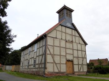
![Percorso A piedi Falkenstein/Harz - DE-Burg Anhalt - Konradsburg - Photo](https://media.geolcdn.com/t/350/260/91ef1199-d587-424b-8a4e-992583e10281.jpeg&format=jpg&maxdim=2)
![A piedi A piedi](https://static1.geolcdn.com/sitytour/trail-icons/100.png)
Km
#1 - DE-Burg Anhalt - Konradsburg
A piedi
Facile
Falkenstein/Harz,
Sachsen-Anhalt,
Landkreis Harz,
Germany
![](/images/other/stat-length.png)
10,3 km | 12,3 km-effort
2h 47min
![](https://static1.geolcdn.com/siteimages/upload/files/1508320355ic_sort_den_pos_24dp.png)
142 m
![](https://static1.geolcdn.com/siteimages/upload/files/1508320355ic_sort_den_neg_24dp.png)
153 m
![](https://static1.geolcdn.com/siteimages/upload/files/16400158638029165_repeat_loop_refresh_sync_direction_icon.png)
No
SityTrail - itinéraires balisés pédestres
• Symbol: Grüner Balken auf weißem Grund
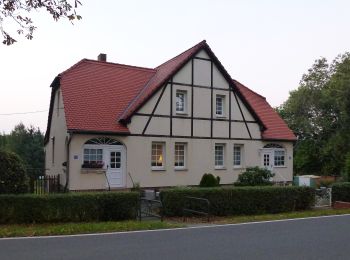
![Percorso A piedi Falkenstein/Harz - Degenershausen-Meisdorf - Photo](https://media.geolcdn.com/t/350/260/d4099caa-d482-4c88-bedb-fbfd859baa1e.jpeg&format=jpg&maxdim=2)
![A piedi A piedi](https://static1.geolcdn.com/sitytour/trail-icons/100.png)
Km
#2 - Degenershausen-Meisdorf
A piedi
Facile
Falkenstein/Harz,
Sachsen-Anhalt,
Landkreis Harz,
Germany
![](/images/other/stat-length.png)
3,7 km | 4,5 km-effort
1h 1min
![](https://static1.geolcdn.com/siteimages/upload/files/1508320355ic_sort_den_pos_24dp.png)
24 m
![](https://static1.geolcdn.com/siteimages/upload/files/1508320355ic_sort_den_neg_24dp.png)
172 m
![](https://static1.geolcdn.com/siteimages/upload/files/16400158638029165_repeat_loop_refresh_sync_direction_icon.png)
No
SityTrail - itinéraires balisés pédestres
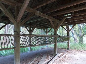
![Percorso A piedi Falkenstein/Harz - Annenweg - Photo](https://media.geolcdn.com/t/350/260/d90605fb-0baa-4151-8198-94ed28afd91d.jpeg&format=jpg&maxdim=2)
![A piedi A piedi](https://static1.geolcdn.com/sitytour/trail-icons/100.png)
Km
#3 - Annenweg
A piedi
Facile
Falkenstein/Harz,
Sachsen-Anhalt,
Landkreis Harz,
Germany
![](/images/other/stat-length.png)
3,1 km | 4,6 km-effort
1h 2min
![](https://static1.geolcdn.com/siteimages/upload/files/1508320355ic_sort_den_pos_24dp.png)
147 m
![](https://static1.geolcdn.com/siteimages/upload/files/1508320355ic_sort_den_neg_24dp.png)
4 m
![](https://static1.geolcdn.com/siteimages/upload/files/16400158638029165_repeat_loop_refresh_sync_direction_icon.png)
No
SityTrail - itinéraires balisés pédestres
3 percorsi visualizzati su 3
Applicazione GPS da escursionismo GRATUITA