


4,3 km | 5,7 km-effort
Ammerbuch: Scopri i migliori percorsi: 4 percorsi a piedi. Tutti questi percorsi, itinerari e attività outdoor sono disponibili nelle nostre app SityTrail per smartphone e tablet.
A piedi


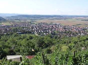
• Trail created by Gemeinde Ammerbuch. Symbol: Roter Apfel Sito web: http://fruechtetrauf.tuebinger-umwelten.de
A piedi
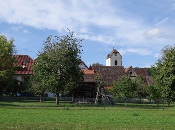
• Trail created by Gemeinde Ammerbuch. Symbol: Roter Apfel Sito web: http://fruechtetrauf.tuebinger-umwelten.de
A piedi
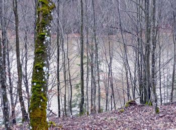
• Symbol: Rote Schnecke auf weißem Grund
A piedi
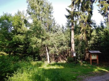
• Trail created by Schwäbischer Albverein. SAV Blauer Strich Symbol: Blauer Strich auf weißem Grund
4 percorsi visualizzati su 4
Applicazione GPS da escursionismo GRATUITA
 SityTrail
IGN / Istituti geografici
SityTrail World
Il mondo è tuo