![](/images/other/stat-length.png)
- Percorsi
- Outdoor
- Germany
- Baden-Württemberg
- Landkreis Karlsruhe
Landkreis Karlsruhe, Baden-Württemberg : I migliori sentieri, percorsi e passeggiate
Landkreis Karlsruhe: Scopri i migliori percorsi: 33 percorsi a piedi. Tutti questi percorsi, itinerari e attività outdoor sono disponibili nelle nostre app SityTrail per smartphone e tablet.
I percorsi migliori (0})
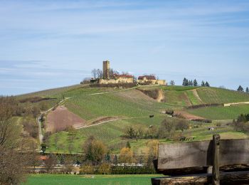
![Percorso A piedi Sulzfeld - Wandern zwischen Wein, Wald und Streuobstwiesen - Photo](https://media.geolcdn.com/t/350/260/6f51d6a9-faa1-43b0-85fb-9a7bdcabca77.jpeg&format=jpg&maxdim=2)
![A piedi A piedi](https://static1.geolcdn.com/sitytour/trail-icons/100.png)
Km
A piedi
![](/images/other/stat-length.png)
![](https://static1.geolcdn.com/siteimages/upload/files/1508320355ic_sort_den_pos_24dp.png)
![](https://static1.geolcdn.com/siteimages/upload/files/1508320355ic_sort_den_neg_24dp.png)
![](https://static1.geolcdn.com/siteimages/upload/files/16400158638029165_repeat_loop_refresh_sync_direction_icon.png)
• Trail created by Kraichgau-Stromberg-Tourismus.
![Percorso A piedi Sulzfeld - Ravensburg-Tour - Photo](https://media.geolcdn.com/t/350/260/6f51d6a9-faa1-43b0-85fb-9a7bdcabca77.jpeg&format=jpg&maxdim=2)
![A piedi A piedi](https://static1.geolcdn.com/sitytour/trail-icons/100.png)
Km
A piedi
![](/images/other/stat-length.png)
![](https://static1.geolcdn.com/siteimages/upload/files/1508320355ic_sort_den_pos_24dp.png)
![](https://static1.geolcdn.com/siteimages/upload/files/1508320355ic_sort_den_neg_24dp.png)
![](https://static1.geolcdn.com/siteimages/upload/files/16400158638029165_repeat_loop_refresh_sync_direction_icon.png)
• Trail created by Kraichgau-Stromberg-Tourismus.
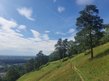
![Percorso A piedi Bruchsal - BR - 11 Büchenauer Hardt - Photo](https://media.geolcdn.com/t/350/260/7f4d94f9-ce23-4d39-af41-66713a5847d4.jpeg&format=jpg&maxdim=2)
![A piedi A piedi](https://static1.geolcdn.com/sitytour/trail-icons/100.png)
Km
A piedi
![](/images/other/stat-length.png)
![](https://static1.geolcdn.com/siteimages/upload/files/1508320355ic_sort_den_pos_24dp.png)
![](https://static1.geolcdn.com/siteimages/upload/files/1508320355ic_sort_den_neg_24dp.png)
![](https://static1.geolcdn.com/siteimages/upload/files/16400158638029165_repeat_loop_refresh_sync_direction_icon.png)
• Trail created by Kraichgau-Stromberg Tourismus e.V.. Symbol: weiße 11 in blausem Quadrat
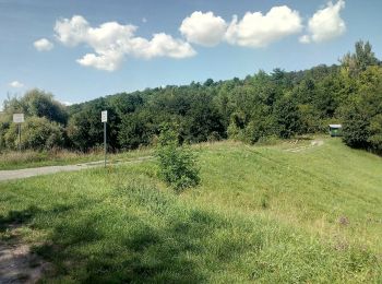
![Percorso A piedi Bruchsal - BR - 13 Untergrombach Ungeheuerklamm Weierle - Photo](https://media.geolcdn.com/t/350/260/fbd1a13b-8676-40cf-aa2e-66ef45283302.jpeg&format=jpg&maxdim=2)
![A piedi A piedi](https://static1.geolcdn.com/sitytour/trail-icons/100.png)
Km
A piedi
![](/images/other/stat-length.png)
![](https://static1.geolcdn.com/siteimages/upload/files/1508320355ic_sort_den_pos_24dp.png)
![](https://static1.geolcdn.com/siteimages/upload/files/1508320355ic_sort_den_neg_24dp.png)
![](https://static1.geolcdn.com/siteimages/upload/files/16400158638029165_repeat_loop_refresh_sync_direction_icon.png)
• Trail created by Kraichgau-Stromberg Tourismus e.V.. Symbol: weiße 13 in blausem Quadrat
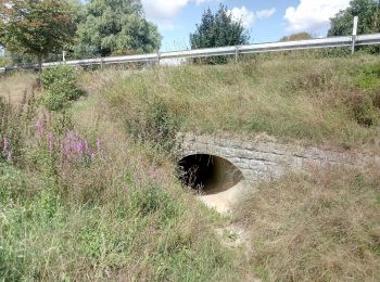
![Percorso A piedi Bruchsal - BR - 12 Obergrombacher Burgweg - Photo](https://media.geolcdn.com/t/350/260/45d508c6-1e90-4810-8225-5cb3492a83db.jpeg&format=jpg&maxdim=2)
![A piedi A piedi](https://static1.geolcdn.com/sitytour/trail-icons/100.png)
Km
A piedi
![](/images/other/stat-length.png)
![](https://static1.geolcdn.com/siteimages/upload/files/1508320355ic_sort_den_pos_24dp.png)
![](https://static1.geolcdn.com/siteimages/upload/files/1508320355ic_sort_den_neg_24dp.png)
![](https://static1.geolcdn.com/siteimages/upload/files/16400158638029165_repeat_loop_refresh_sync_direction_icon.png)
• Trail created by Kraichgau-Stromberg Tourismus e.V.. Symbol: weiße 12 in orangenem Quadrat
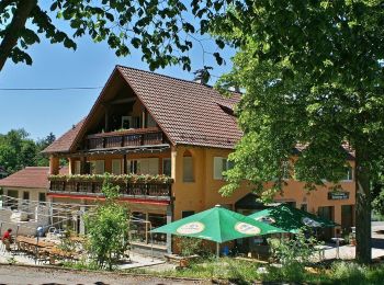
![Percorso A piedi Bretten - Großer Brettener Südweg - Photo](https://media.geolcdn.com/t/350/260/8878ffa7-e399-4287-9ab2-51c87ecacaf4.jpeg&format=jpg&maxdim=2)
![A piedi A piedi](https://static1.geolcdn.com/sitytour/trail-icons/100.png)
Km
A piedi
![](/images/other/stat-length.png)
![](https://static1.geolcdn.com/siteimages/upload/files/1508320355ic_sort_den_pos_24dp.png)
![](https://static1.geolcdn.com/siteimages/upload/files/1508320355ic_sort_den_neg_24dp.png)
![](https://static1.geolcdn.com/siteimages/upload/files/16400158638029165_repeat_loop_refresh_sync_direction_icon.png)
• Trail created by Kraichgau-Stromberg Tourismus e.V..
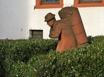
![Percorso A piedi Weingarten - Über sanfte Hügel zur Schönen Aussicht - Photo](https://media.geolcdn.com/t/350/260/07e4f1b6-4cd5-4835-bf4a-b9f21a4d3d36.jpeg&format=jpg&maxdim=2)
![A piedi A piedi](https://static1.geolcdn.com/sitytour/trail-icons/100.png)
Km
A piedi
![](/images/other/stat-length.png)
![](https://static1.geolcdn.com/siteimages/upload/files/1508320355ic_sort_den_pos_24dp.png)
![](https://static1.geolcdn.com/siteimages/upload/files/1508320355ic_sort_den_neg_24dp.png)
![](https://static1.geolcdn.com/siteimages/upload/files/16400158638029165_repeat_loop_refresh_sync_direction_icon.png)
• Trail created by Kraichgau-Stromberg Tourismus e.V..
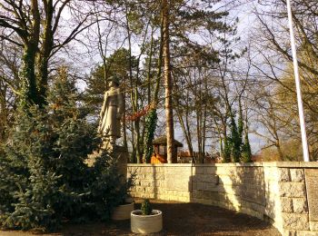
![Percorso A piedi Gondelsheim - Mühlenweg - Photo](https://media.geolcdn.com/t/350/260/8582801c-1db5-4111-a012-52fb1755b568.jpeg&format=jpg&maxdim=2)
![A piedi A piedi](https://static1.geolcdn.com/sitytour/trail-icons/100.png)
Km
A piedi
![](/images/other/stat-length.png)
![](https://static1.geolcdn.com/siteimages/upload/files/1508320355ic_sort_den_pos_24dp.png)
![](https://static1.geolcdn.com/siteimages/upload/files/1508320355ic_sort_den_neg_24dp.png)
![](https://static1.geolcdn.com/siteimages/upload/files/16400158638029165_repeat_loop_refresh_sync_direction_icon.png)
• Trail created by Gemeinde Gondelsheim. Symbol: Meist orange Farbe auf Holz: "RW3"
![Percorso A piedi Gondelsheim - Karrheckenweg - Photo](https://media.geolcdn.com/t/350/260/8582801c-1db5-4111-a012-52fb1755b568.jpeg&format=jpg&maxdim=2)
![A piedi A piedi](https://static1.geolcdn.com/sitytour/trail-icons/100.png)
Km
A piedi
![](/images/other/stat-length.png)
![](https://static1.geolcdn.com/siteimages/upload/files/1508320355ic_sort_den_pos_24dp.png)
![](https://static1.geolcdn.com/siteimages/upload/files/1508320355ic_sort_den_neg_24dp.png)
![](https://static1.geolcdn.com/siteimages/upload/files/16400158638029165_repeat_loop_refresh_sync_direction_icon.png)
• Trail created by Gemeinde Gondelsheim. Symbol: Meist orange Farbe auf Holz: "RW2"
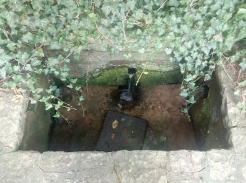
![Percorso A piedi Gondelsheim - Riedwiesenweg - Photo](https://media.geolcdn.com/t/350/260/c4a2d50b-15d7-4813-98be-633b3cdbb4c6.jpeg&format=jpg&maxdim=2)
![A piedi A piedi](https://static1.geolcdn.com/sitytour/trail-icons/100.png)
Km
A piedi
![](/images/other/stat-length.png)
![](https://static1.geolcdn.com/siteimages/upload/files/1508320355ic_sort_den_pos_24dp.png)
![](https://static1.geolcdn.com/siteimages/upload/files/1508320355ic_sort_den_neg_24dp.png)
![](https://static1.geolcdn.com/siteimages/upload/files/16400158638029165_repeat_loop_refresh_sync_direction_icon.png)
• Trail created by Gemeinde Gondelsheim. Symbol: Meist orange Farbe auf Holz: "RW1"
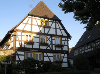
![Percorso A piedi Ettlingen - Weiligquelle - Bahnhof Bruchhausen - Oberweier - Waldsaumhalle - Photo](https://media.geolcdn.com/t/350/260/17e62da1-de8d-47ae-8472-67e6ba169fb2.jpeg&format=jpg&maxdim=2)
![A piedi A piedi](https://static1.geolcdn.com/sitytour/trail-icons/100.png)
Km
A piedi
![](/images/other/stat-length.png)
![](https://static1.geolcdn.com/siteimages/upload/files/1508320355ic_sort_den_pos_24dp.png)
![](https://static1.geolcdn.com/siteimages/upload/files/1508320355ic_sort_den_neg_24dp.png)
![](https://static1.geolcdn.com/siteimages/upload/files/16400158638029165_repeat_loop_refresh_sync_direction_icon.png)
• Trail created by Schwarzwaldverein. Symbol: Liegende gelbe Raute auf weißem Grund
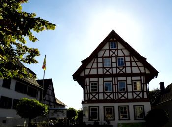
![Percorso A piedi Malsch - Malsch - Malscher Weg - Photo](https://media.geolcdn.com/t/350/260/36ac0f38-a779-4e43-94fe-3d111fa4b8c7.jpeg&format=jpg&maxdim=2)
![A piedi A piedi](https://static1.geolcdn.com/sitytour/trail-icons/100.png)
Km
A piedi
![](/images/other/stat-length.png)
![](https://static1.geolcdn.com/siteimages/upload/files/1508320355ic_sort_den_pos_24dp.png)
![](https://static1.geolcdn.com/siteimages/upload/files/1508320355ic_sort_den_neg_24dp.png)
![](https://static1.geolcdn.com/siteimages/upload/files/16400158638029165_repeat_loop_refresh_sync_direction_icon.png)
• Trail created by Schwarzwaldverein. Symbol: Liegende gelbe Raute auf weißem Grund
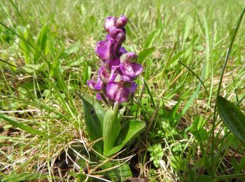
![Percorso A piedi Karlsbad - Ittersbach - Weinbrunnen - Marxzell - Photo](https://media.geolcdn.com/t/350/260/cd47581f-f639-4764-b15b-0a123adbb960.jpeg&format=jpg&maxdim=2)
![A piedi A piedi](https://static1.geolcdn.com/sitytour/trail-icons/100.png)
Km
A piedi
![](/images/other/stat-length.png)
![](https://static1.geolcdn.com/siteimages/upload/files/1508320355ic_sort_den_pos_24dp.png)
![](https://static1.geolcdn.com/siteimages/upload/files/1508320355ic_sort_den_neg_24dp.png)
![](https://static1.geolcdn.com/siteimages/upload/files/16400158638029165_repeat_loop_refresh_sync_direction_icon.png)
• Trail created by Schwarzwaldverein. Symbol: Liegende gelbe Raute auf weißem Grund
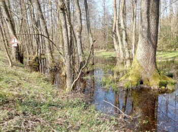
![Percorso A piedi Karlsbad - Fuchsweg - Photo](https://media.geolcdn.com/t/350/260/eb52c983-2d95-4805-8877-072e78263643.jpeg&format=jpg&maxdim=2)
![A piedi A piedi](https://static1.geolcdn.com/sitytour/trail-icons/100.png)
Km
A piedi
![](/images/other/stat-length.png)
![](https://static1.geolcdn.com/siteimages/upload/files/1508320355ic_sort_den_pos_24dp.png)
![](https://static1.geolcdn.com/siteimages/upload/files/1508320355ic_sort_den_neg_24dp.png)
![](https://static1.geolcdn.com/siteimages/upload/files/16400158638029165_repeat_loop_refresh_sync_direction_icon.png)
• Trail created by Gemeinde Karlsbad.
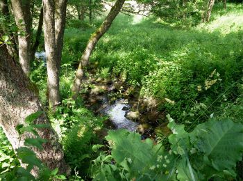
![Percorso A piedi Marxzell - Marxzell - Ittersbach - Photo](https://media.geolcdn.com/t/350/260/f658911c-d9b4-43d5-9c5a-106e3c9ac183.jpeg&format=jpg&maxdim=2)
![A piedi A piedi](https://static1.geolcdn.com/sitytour/trail-icons/100.png)
Km
A piedi
![](/images/other/stat-length.png)
![](https://static1.geolcdn.com/siteimages/upload/files/1508320355ic_sort_den_pos_24dp.png)
![](https://static1.geolcdn.com/siteimages/upload/files/1508320355ic_sort_den_neg_24dp.png)
![](https://static1.geolcdn.com/siteimages/upload/files/16400158638029165_repeat_loop_refresh_sync_direction_icon.png)
• Trail created by Schwarzwaldverein. Symbol: Liegende gelbe Raute auf weißem Grund
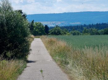
![Percorso A piedi Karlsbad - Spielberg: Waldkulturpfad - Gscheidweg - Photo](https://media.geolcdn.com/t/350/260/da263943-71f9-44b6-be7b-7d23634e67fb.jpeg&format=jpg&maxdim=2)
![A piedi A piedi](https://static1.geolcdn.com/sitytour/trail-icons/100.png)
Km
A piedi
![](/images/other/stat-length.png)
![](https://static1.geolcdn.com/siteimages/upload/files/1508320355ic_sort_den_pos_24dp.png)
![](https://static1.geolcdn.com/siteimages/upload/files/1508320355ic_sort_den_neg_24dp.png)
![](https://static1.geolcdn.com/siteimages/upload/files/16400158638029165_repeat_loop_refresh_sync_direction_icon.png)
• Trail created by Schwarzwaldverein. Symbol: Liegende gelbe Raute auf weißem Grund
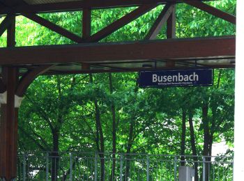
![Percorso A piedi Waldbronn - Busenbach (Bahnhof) - Ittersbach (Gewann Reichenbach) - Photo](https://media.geolcdn.com/t/350/260/9441f80c-6c1d-484b-9f77-9beae73aee67.jpeg&format=jpg&maxdim=2)
![A piedi A piedi](https://static1.geolcdn.com/sitytour/trail-icons/100.png)
Km
A piedi
![](/images/other/stat-length.png)
![](https://static1.geolcdn.com/siteimages/upload/files/1508320355ic_sort_den_pos_24dp.png)
![](https://static1.geolcdn.com/siteimages/upload/files/1508320355ic_sort_den_neg_24dp.png)
![](https://static1.geolcdn.com/siteimages/upload/files/16400158638029165_repeat_loop_refresh_sync_direction_icon.png)
• Trail created by Schwarzwaldverein. Symbol: Liegende gelbe Raute auf weißem Grund
![Percorso A piedi Karlsbad - Kuckucksweg - Photo](https://media.geolcdn.com/t/350/260/aaacc44f-0520-49a6-b857-3c4bc35f17a9.jpeg&format=jpg&maxdim=2)
![A piedi A piedi](https://static1.geolcdn.com/sitytour/trail-icons/100.png)
Km
A piedi
![](/images/other/stat-length.png)
![](https://static1.geolcdn.com/siteimages/upload/files/1508320355ic_sort_den_pos_24dp.png)
![](https://static1.geolcdn.com/siteimages/upload/files/1508320355ic_sort_den_neg_24dp.png)
![](https://static1.geolcdn.com/siteimages/upload/files/16400158638029165_repeat_loop_refresh_sync_direction_icon.png)
• Trail created by Schwarzwaldverein. Die Ittersbacher werden scherzhaft Kuckucke genannt Symbol: Ein schwarzer, sche...
![Percorso A piedi Waldbronn - Hetzeltal - Spielberg - Photo](https://media.geolcdn.com/t/350/260/f5ecdffe-dd74-47ee-a061-fb95d7213d1c.jpeg&format=jpg&maxdim=2)
![A piedi A piedi](https://static1.geolcdn.com/sitytour/trail-icons/100.png)
Km
A piedi
![](/images/other/stat-length.png)
![](https://static1.geolcdn.com/siteimages/upload/files/1508320355ic_sort_den_pos_24dp.png)
![](https://static1.geolcdn.com/siteimages/upload/files/1508320355ic_sort_den_neg_24dp.png)
![](https://static1.geolcdn.com/siteimages/upload/files/16400158638029165_repeat_loop_refresh_sync_direction_icon.png)
• Trail created by Schwarzwaldverein. Symbol: Liegende gelbe Raute auf weißem Grund
![Percorso A piedi Karlsbad - Moosalbweg - Photo](https://media.geolcdn.com/t/350/260/72211071-0d5b-4210-9140-367712631bfe.jpeg&format=jpg&maxdim=2)
![A piedi A piedi](https://static1.geolcdn.com/sitytour/trail-icons/100.png)
Km
A piedi
![](/images/other/stat-length.png)
![](https://static1.geolcdn.com/siteimages/upload/files/1508320355ic_sort_den_pos_24dp.png)
![](https://static1.geolcdn.com/siteimages/upload/files/1508320355ic_sort_den_neg_24dp.png)
![](https://static1.geolcdn.com/siteimages/upload/files/16400158638029165_repeat_loop_refresh_sync_direction_icon.png)
• Trail created by Schwarzwaldverein. Symbol: Liegende gelbe Raute auf weißem Grund
20 percorsi visualizzati su 33
Applicazione GPS da escursionismo GRATUITA