
- Percorsi
- Outdoor
- Germany
- Baden-Württemberg
- Zollernalbkreis
Zollernalbkreis, Baden-Württemberg : I migliori sentieri, percorsi e passeggiate
Zollernalbkreis: Scopri i migliori percorsi: 13 percorsi a piedi. Tutti questi percorsi, itinerari e attività outdoor sono disponibili nelle nostre app SityTrail per smartphone e tablet.
I percorsi migliori (0})
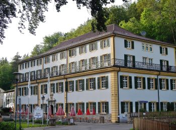
Km
A piedi


• Trail created by Schwäbischer Alb Verein. Symbol: rotes Kreuz auf weißem Grund

Km
A piedi


• Trail created by Schwaebischer Albverein - Ortsgruppe Bodelshausen. Symbol: Blue bar on white background
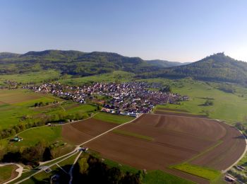
Km
A piedi


• Trail created by Schwäbischer Albverein - Ortsgruppe Schlatt. Symbol: Blue pointer on white background
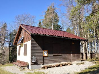
Km
A piedi


• Trail created by Schwäbischer Albverein. Symbol: rote Raute auf weißem Grund
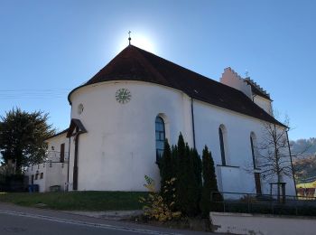
Km
A piedi


• Trail created by Landratsamt Balingen. Symbol: Black tower with coat of arms on white Background (All Black and white)

Km
A piedi


• Trail created by Schwaebischer Albverein - Ortsgruppe Killer. Symbol: Yellow triangle as pointer on white background
Km
A piedi


• Trail created by Schwäbischer Alb Verein. Symbol: Blauer Balken auf weißem Grund

Km
A piedi


• Trail created by Schwäbischer Alb Verein. Symbol: Blaues Kreuz auf weißem Grund
Km
A piedi


• Trail created by Schwäbischer Albverein - Haigerloch. Symbol: rotes Kreuz auf weißem Grund
Km
A piedi


• Wandern für Traufgänger. Sieben ausgezeichnete Premiumwege und ein Premium-Winterwanderweg sind es, die Sie auf der S...
Km
A piedi


• Trail created by Schwaebischer Albverein - Ortsgruppe Bodelshausen. Symbol: Blue pointer on white background
Km
A piedi


• Trail created by Schwäbischer Albverein - Ortsgruppe Schlatt. Symbol: Blue pointer on white background

Km
Marcia


13 percorsi visualizzati su 13
Applicazione GPS da escursionismo GRATUITA


 SityTrail


