


5,5 km | 7,5 km-effort
Vaihingen an der Enz: Scopri i migliori percorsi: 9 percorsi a piedi. Tutti questi percorsi, itinerari e attività outdoor sono disponibili nelle nostre app SityTrail per smartphone e tablet.
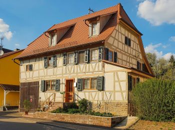
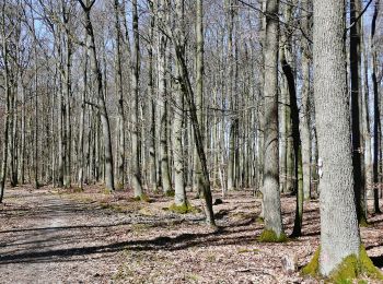
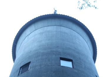
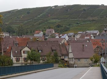
A piedi


• Trail created by Stadt Vaihingen an der Enz.
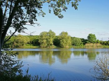
A piedi
• Trail created by Stadt Vaihingen an der Enz.
A piedi
• Trail created by Schwäbischer Albverein. SAV Blauer Balken, von - nach? Symbol: Blauer Balken auf weißem Grund
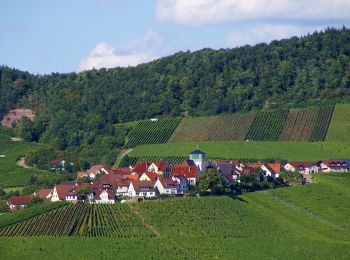
A piedi
• Trail created by Schwäbischer Albverein.
A piedi
• Trail created by Schwäbischer Albverein.
A piedi
• Trail created by Schwäbischer Albverein e.V. OG Markgröningen. Symbol: Rot markiert
A piedi
• Symbol: Runde weisse Plakette mit schwarzem Rand und Text "Riedberg Rundweg"
A piedi
• Trail created by Stadt Vaihingen an der Enz. Symbol: Runde weisse Plakette mit schwarzem Rand und Text "Vaihinger Ru...

A piedi
• Trail created by Kraichgau-Stromberg Tourismus e.V..
9 percorsi visualizzati su 9
Applicazione GPS da escursionismo GRATUITA
 SityTrail
IGN / Istituti geografici
SityTrail World
Il mondo è tuo