


5 km | 6,7 km-effort
Villingen-Schwenningen: Scopri i migliori percorsi: 8 percorsi a piedi. Tutti questi percorsi, itinerari e attività outdoor sono disponibili nelle nostre app SityTrail per smartphone e tablet.

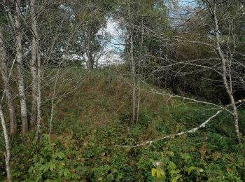
A piedi


• Trail created by Schwäbischer Albverein.
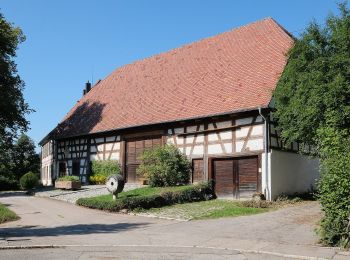
A piedi
• Trail created by Schwarzwaldverein.
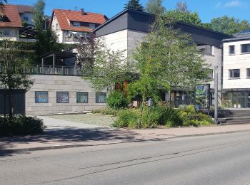
A piedi
• Trail created by Schwarzwaldverein.
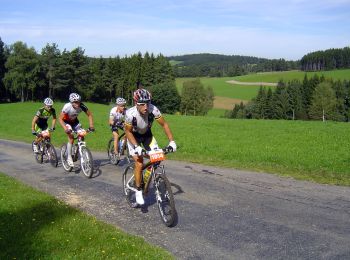
A piedi
• Trail created by Schwarzwaldverein.

A piedi
• Symbol: Bild (blau-ws-sw Wappen, Blatt, etc.) plus Name auf Schild
A piedi
• Trail created by Schwarzwaldverein. Symbol: Blaue Raute auf weißem Grund
A piedi
• Trail created by Schwarzwaldverein. Symbol: Blaue Raute auf weißem Grund

A piedi
• Trail created by Schwarzwaldverein.
8 percorsi visualizzati su 8
Applicazione GPS da escursionismo GRATUITA
 SityTrail
IGN / Istituti geografici
SityTrail World
Il mondo è tuo