


9,9 km | 12,1 km-effort
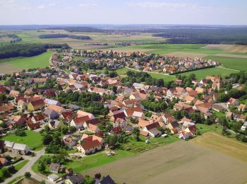
Pfofeld: Scopri i migliori percorsi: 7 percorsi a piedi. Tutti questi percorsi, itinerari e attività outdoor sono disponibili nelle nostre app SityTrail per smartphone e tablet.
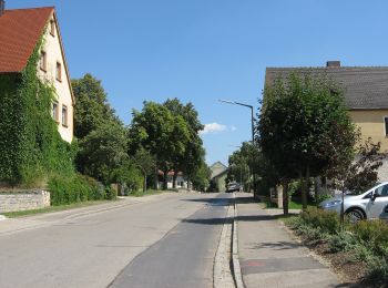
A piedi


• Trail created by Fränkisches Seenland. abgeschlossen (Februar 2014, by cycling_zno) Symbol: Blaue Tafel mit weißer ...
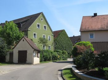
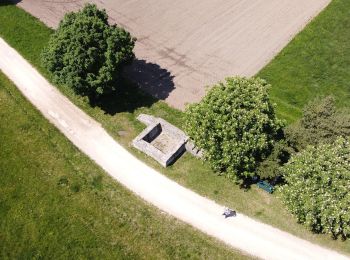
A piedi
• Trail created by Fränkisches Seenland. abgeschlossen (Februar 2014, by cycling_zno) Symbol: Blaue Tafel mit weißer ...
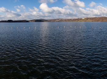
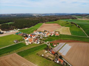
A piedi
• Trail created by Fränkisches Seenland. abgeschlossen (Februar 2014, by cycling_zno) Symbol: Blaue Tafel mit weißer ...
A piedi
• Trail created by Fränkisches Seenland. abgeschlossen (Februar 2014, by cycling_zno) Symbol: Blaue Tafel mit weißer ...
A piedi
• Trail created by Fränkisches Seenland. abgeschlossen (Februar 2014, by cycling_zno) Symbol: Blaue Tafel mit weißer ...
A piedi
• Trail created by Fränkisches Seenland. abgeschlossen (Februar 2014, by cycling_zno) Symbol: Blaue Tafel mit weißer ...
A piedi
• Trail created by Fränkisches Seenland. abgeschlossen (Februar 2014, by cycling_zno) Symbol: Blaue Tafel mit weißer ...
7 percorsi visualizzati su 7
Applicazione GPS da escursionismo GRATUITA
 SityTrail
IGN / Istituti geografici
SityTrail World
Il mondo è tuo