![](/images/other/stat-length.png)
- Percorsi
- Outdoor
- Germany
- Baviera
- Landkreis Amberg-Sulzbach
- Neukirchen bei Sulzbach-Rosenberg
Neukirchen bei Sulzbach-Rosenberg, Landkreis Amberg-Sulzbach : I migliori sentieri, percorsi e passeggiate
Neukirchen bei Sulzbach-Rosenberg: Scopri i migliori percorsi: 11 percorsi a piedi. Tutti questi percorsi, itinerari e attività outdoor sono disponibili nelle nostre app SityTrail per smartphone e tablet.
I percorsi migliori (0})
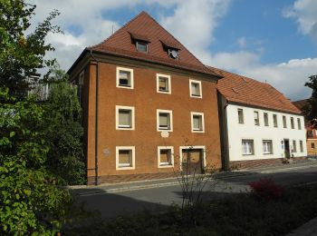
![Percorso A piedi Neukirchen bei Sulzbach-Rosenberg - Neukirchen-Fichtelbrunn - Photo](https://media.geolcdn.com/t/350/260/33355fdf-7d85-4c28-911e-b48bad872eaa.jpeg&format=jpg&maxdim=2)
![A piedi A piedi](https://static1.geolcdn.com/sitytour/trail-icons/100.png)
Km
A piedi
![](/images/other/stat-length.png)
![](https://static1.geolcdn.com/siteimages/upload/files/1508320355ic_sort_den_pos_24dp.png)
![](https://static1.geolcdn.com/siteimages/upload/files/1508320355ic_sort_den_neg_24dp.png)
![](https://static1.geolcdn.com/siteimages/upload/files/16400158638029165_repeat_loop_refresh_sync_direction_icon.png)
• Trail created by Gemeinde Neukirchen b.Sulzbach-Rosenberg. Wegeverlängerung bis nach Nk ab 2018 Symbol: Gelber Ring...
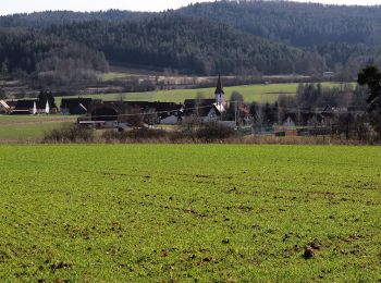
![Percorso A piedi Neukirchen bei Sulzbach-Rosenberg - Neukirchener Juralandschaftsrundweg - Photo](https://media.geolcdn.com/t/350/260/467ca2f3-9b56-4211-bbbd-2903663d5199.jpeg&format=jpg&maxdim=2)
![A piedi A piedi](https://static1.geolcdn.com/sitytour/trail-icons/100.png)
Km
A piedi
![](/images/other/stat-length.png)
![](https://static1.geolcdn.com/siteimages/upload/files/1508320355ic_sort_den_pos_24dp.png)
![](https://static1.geolcdn.com/siteimages/upload/files/1508320355ic_sort_den_neg_24dp.png)
![](https://static1.geolcdn.com/siteimages/upload/files/16400158638029165_repeat_loop_refresh_sync_direction_icon.png)
• Trail created by Gemeinde Neukirchen b.Sulzbach-Rosenberg. geprüft (Jan. 2015 by cycling_zno) Symbol: Grünes Blatt ...
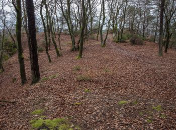
![Percorso A piedi Neukirchen bei Sulzbach-Rosenberg - Rundwanderweg No.2 Neukirchen - Photo](https://media.geolcdn.com/t/350/260/d93acf92-9e83-4d73-9344-01b0c7f213d9.jpeg&format=jpg&maxdim=2)
![A piedi A piedi](https://static1.geolcdn.com/sitytour/trail-icons/100.png)
Km
A piedi
![](/images/other/stat-length.png)
![](https://static1.geolcdn.com/siteimages/upload/files/1508320355ic_sort_den_pos_24dp.png)
![](https://static1.geolcdn.com/siteimages/upload/files/1508320355ic_sort_den_neg_24dp.png)
![](https://static1.geolcdn.com/siteimages/upload/files/16400158638029165_repeat_loop_refresh_sync_direction_icon.png)
• Trail created by Gemeinde Neukirchen b.Sulzbach-Rosenberg. Symbol: Weiße 2 auf blauem Grund
![Percorso A piedi Neukirchen bei Sulzbach-Rosenberg - Rundwanderweg No.6 Neukirchen - Photo](https://media.geolcdn.com/t/350/260/d93acf92-9e83-4d73-9344-01b0c7f213d9.jpeg&format=jpg&maxdim=2)
![A piedi A piedi](https://static1.geolcdn.com/sitytour/trail-icons/100.png)
Km
A piedi
![](/images/other/stat-length.png)
![](https://static1.geolcdn.com/siteimages/upload/files/1508320355ic_sort_den_pos_24dp.png)
![](https://static1.geolcdn.com/siteimages/upload/files/1508320355ic_sort_den_neg_24dp.png)
![](https://static1.geolcdn.com/siteimages/upload/files/16400158638029165_repeat_loop_refresh_sync_direction_icon.png)
• Trail created by Gemeinde Neukirchen b.Sulzbach-Rosenberg. Wiederspruch name-description Rundweg-Zielwanderung- comp...
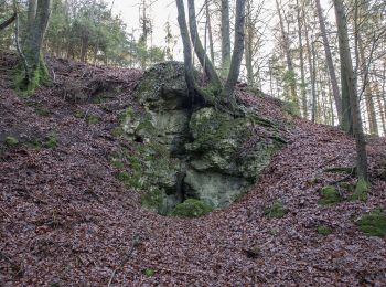
![Percorso A piedi Neukirchen bei Sulzbach-Rosenberg - Rundwanderweg No.5 Neunkirchen - Photo](https://media.geolcdn.com/t/350/260/2d1816a3-40af-4fd8-b633-b36faa9a8556.jpeg&format=jpg&maxdim=2)
![A piedi A piedi](https://static1.geolcdn.com/sitytour/trail-icons/100.png)
Km
A piedi
![](/images/other/stat-length.png)
![](https://static1.geolcdn.com/siteimages/upload/files/1508320355ic_sort_den_pos_24dp.png)
![](https://static1.geolcdn.com/siteimages/upload/files/1508320355ic_sort_den_neg_24dp.png)
![](https://static1.geolcdn.com/siteimages/upload/files/16400158638029165_repeat_loop_refresh_sync_direction_icon.png)
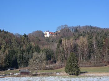
• Trail created by Gemeinde Neukirchen b.Sulzbach-Rosenberg. geprüft (Jan. 2015 by cycling_zno) Symbol: Weisse 5 mit ...
![Percorso A piedi Neukirchen bei Sulzbach-Rosenberg - Rundwanderweg No.1 Neukirchen - Photo](https://media.geolcdn.com/t/350/260/165ad217-d233-4110-bb5c-52a0ab9a791a.jpeg&format=jpg&maxdim=2)
![A piedi A piedi](https://static1.geolcdn.com/sitytour/trail-icons/100.png)
Km
A piedi
![](/images/other/stat-length.png)
![](https://static1.geolcdn.com/siteimages/upload/files/1508320355ic_sort_den_pos_24dp.png)
![](https://static1.geolcdn.com/siteimages/upload/files/1508320355ic_sort_den_neg_24dp.png)
![](https://static1.geolcdn.com/siteimages/upload/files/16400158638029165_repeat_loop_refresh_sync_direction_icon.png)
• Trail created by Gemeinde Neukirchen b.Sulzbach-Rosenberg. Symbol: Schwarze 1 mit Kreis auf gelbem Grund
![Percorso A piedi Neukirchen bei Sulzbach-Rosenberg - Rundwanderweg No.7 Neunkirchen - Photo](https://media.geolcdn.com/t/350/260/33355fdf-7d85-4c28-911e-b48bad872eaa.jpeg&format=jpg&maxdim=2)
![A piedi A piedi](https://static1.geolcdn.com/sitytour/trail-icons/100.png)
Km
A piedi
![](/images/other/stat-length.png)
![](https://static1.geolcdn.com/siteimages/upload/files/1508320355ic_sort_den_pos_24dp.png)
![](https://static1.geolcdn.com/siteimages/upload/files/1508320355ic_sort_den_neg_24dp.png)
![](https://static1.geolcdn.com/siteimages/upload/files/16400158638029165_repeat_loop_refresh_sync_direction_icon.png)
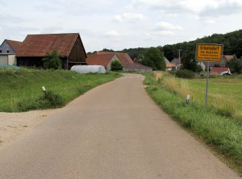
• Trail created by Gemeinde Neukirchen b.Sulzbach-Rosenberg. geprüft (Jan. 2015 by cycling_zno) Symbol: Schwarze 7 mi...
![Percorso A piedi Neukirchen bei Sulzbach-Rosenberg - Rundwanderweg No.4 Neunkirchen - Photo](https://media.geolcdn.com/t/350/260/2fc42541-9f46-44c9-86a3-0a08ca12a8a3.jpeg&format=jpg&maxdim=2)
![A piedi A piedi](https://static1.geolcdn.com/sitytour/trail-icons/100.png)
Km
A piedi
![](/images/other/stat-length.png)
![](https://static1.geolcdn.com/siteimages/upload/files/1508320355ic_sort_den_pos_24dp.png)
![](https://static1.geolcdn.com/siteimages/upload/files/1508320355ic_sort_den_neg_24dp.png)
![](https://static1.geolcdn.com/siteimages/upload/files/16400158638029165_repeat_loop_refresh_sync_direction_icon.png)
• Trail created by Gemeinde Neukirchen b.Sulzbach-Rosenberg. geprüft (Jan. 2015 by cycling_zno) Symbol: Schwarze 4 mi...
![Percorso A piedi Neukirchen bei Sulzbach-Rosenberg - Rundwanderweg No.3 Neukirchen - Photo](https://media.geolcdn.com/t/350/260/33355fdf-7d85-4c28-911e-b48bad872eaa.jpeg&format=jpg&maxdim=2)
![A piedi A piedi](https://static1.geolcdn.com/sitytour/trail-icons/100.png)
Km
A piedi
![](/images/other/stat-length.png)
![](https://static1.geolcdn.com/siteimages/upload/files/1508320355ic_sort_den_pos_24dp.png)
![](https://static1.geolcdn.com/siteimages/upload/files/1508320355ic_sort_den_neg_24dp.png)
![](https://static1.geolcdn.com/siteimages/upload/files/16400158638029165_repeat_loop_refresh_sync_direction_icon.png)
• Trail created by Gemeinde Neukirchen b.Sulzbach-Rosenberg. geprüft (Jan. 2015 by cycling_zno) Symbol: Weiße 3 auf r...
![Percorso A piedi Neukirchen bei Sulzbach-Rosenberg - Rundweg Holnstein Blau - Photo](https://media.geolcdn.com/t/350/260/4281f05b-9c31-40ba-b512-d2e505676f4f.jpeg&format=jpg&maxdim=2)
![A piedi A piedi](https://static1.geolcdn.com/sitytour/trail-icons/100.png)
Km
A piedi
![](/images/other/stat-length.png)
![](https://static1.geolcdn.com/siteimages/upload/files/1508320355ic_sort_den_pos_24dp.png)
![](https://static1.geolcdn.com/siteimages/upload/files/1508320355ic_sort_den_neg_24dp.png)
![](https://static1.geolcdn.com/siteimages/upload/files/16400158638029165_repeat_loop_refresh_sync_direction_icon.png)
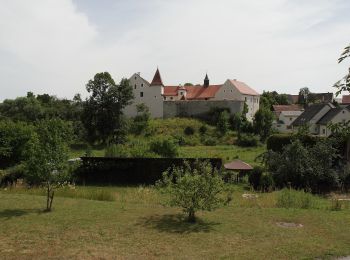
• Trail created by Gemeinde Neukirchen b.Sulzbach-Rosenberg. abgeschlossen (Jan. 2013 by cycling_zno) Symbol: Blauer ...
![Percorso A piedi Neukirchen bei Sulzbach-Rosenberg - Rundweg Holnstein Grün - Photo](https://media.geolcdn.com/t/350/260/4281f05b-9c31-40ba-b512-d2e505676f4f.jpeg&format=jpg&maxdim=2)
![A piedi A piedi](https://static1.geolcdn.com/sitytour/trail-icons/100.png)
Km
A piedi
![](/images/other/stat-length.png)
![](https://static1.geolcdn.com/siteimages/upload/files/1508320355ic_sort_den_pos_24dp.png)
![](https://static1.geolcdn.com/siteimages/upload/files/1508320355ic_sort_den_neg_24dp.png)
![](https://static1.geolcdn.com/siteimages/upload/files/16400158638029165_repeat_loop_refresh_sync_direction_icon.png)
• Trail created by Gemeinde Neukirchen b.Sulzbach-Rosenberg. geprüft (Jan. 2015 by cycling_zno) Symbol: Grüner Ring a...
11 percorsi visualizzati su 11
Applicazione GPS da escursionismo GRATUITA