


13,6 km | 16,9 km-effort
Landkreis Weilheim-Schongau: Scopri i migliori percorsi: 14 percorsi a piedi. Tutti questi percorsi, itinerari e attività outdoor sono disponibili nelle nostre app SityTrail per smartphone e tablet.

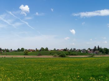
A piedi


• Symbol: schwarze 22 auf rotem Grund
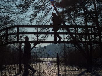
A piedi
• Symbol: schwarze 21 auf rotem Grund

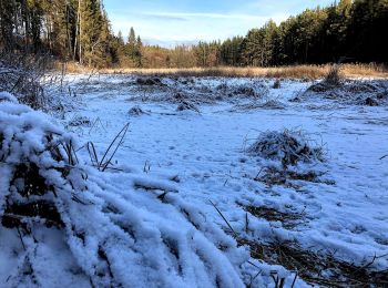
A piedi
• http://hiking.waymarkedtrails.org
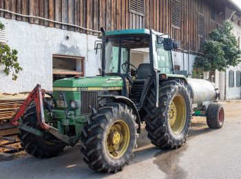
A piedi
• http://hiking.waymarkedtrails.org
A piedi
• http://hiking.waymarkedtrails.org
A piedi
• http://hiking.waymarkedtrails.org former number 7, osmc:symbol=yellow:white:yellow_dot:7:black
A piedi
• http://hiking.waymarkedtrails.org
A piedi
• Symbol: Zahl 12 auf blauem Quadrat
A piedi
• Symbol: Zahl 13 auf orangenem Quadrat
A piedi
• Symbol: Zahl 14 auf grünem Quadrat

A piedi
• http://hiking.waymarkedtrails.org

A piedi
• Trail created by Blaues Land. Symbol: blauer Wanderer auf weißem Grund
A piedi
• Symbol: Zahl 15 auf gelbem Quadrat
A piedi
14 percorsi visualizzati su 14
Applicazione GPS da escursionismo GRATUITA
 SityTrail
IGN / Istituti geografici
SityTrail World
Il mondo è tuo