


11,6 km | 13,2 km-effort
Lanaken: Scopri i migliori percorsi: 15 percorsi a piedi, 1 percorsi in bicicletta o MTB e 1 percorsi a cavallo. Tutti questi percorsi, itinerari e attività outdoor sono disponibili nelle nostre app SityTrail per smartphone e tablet.
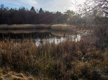
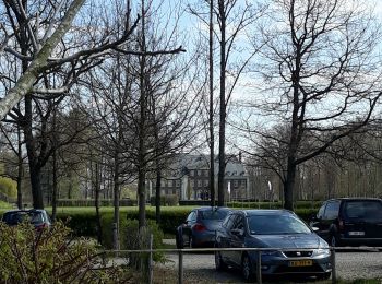
A piedi


• Trail created by Regionaal Landschap Kempen en Maasland. Symbol: triangle
A piedi
• Trail created by Regionaal Landschap Kempen en Maasland. Symbol: diamond
A piedi
• Trail created by Regionaal Landschap Kempen en Maasland. Symbol: rectangle
A piedi
• Trail created by Regionaal Landschap Kempen en Maasland. Symbol: hexagon
A piedi
• Trail created by Regionaal Landschap Kempen en Maasland. Symbol: diamond
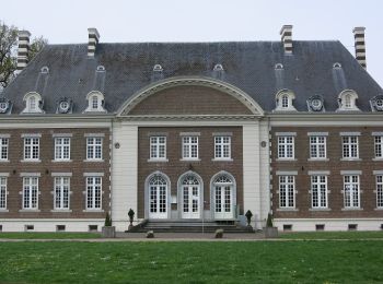
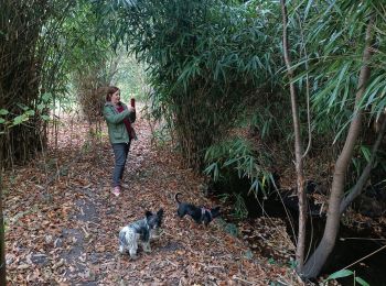
Marcia

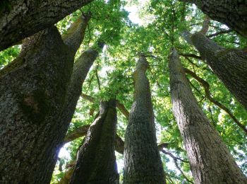
A piedi
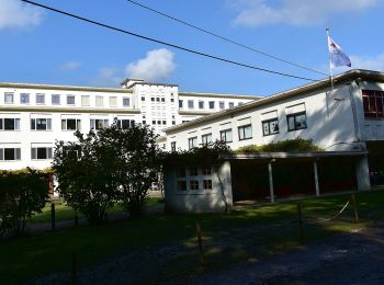
Marcia
A piedi
• Trail created by Regionaal Landschap Kempen en Maasland. Symbol: rectangle
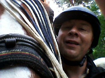
Cavallo
Altra attività

 31.752
sport

Marcia
Altra attività
Altra attività
Marcia
• More information on : http://www.wandelgidszuidlimburg.com
Marcia
• More information on : http://www.wandelgidszuidlimburg.com
Altra attività
•
Altra attività
•
Altra attività
•
20 percorsi visualizzati su 26
Applicazione GPS da escursionismo GRATUITA
 SityTrail
IGN / Istituti geografici
SityTrail World
Il mondo è tuo