


25 km | 27 km-effort
Bocholt: Scopri i migliori percorsi: 17 percorsi a piedi e 3 percorsi in bicicletta o MTB. Tutti questi percorsi, itinerari e attività outdoor sono disponibili nelle nostre app SityTrail per smartphone e tablet.
A piedi


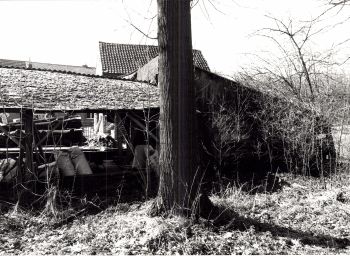
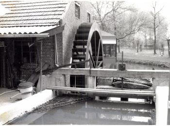
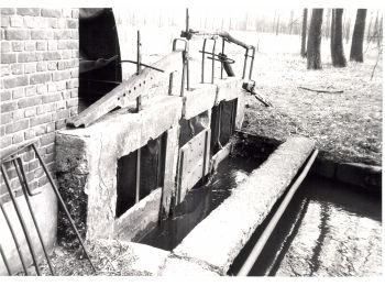
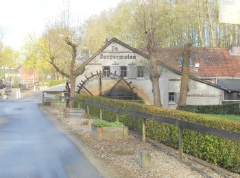
• Trail created by Regionaal Landschap Kempen en Maasland. Symbol: watermill
A piedi
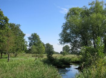
• Trail created by Regionaal Landschap Kempen en Maasland. Symbol: triangle
A piedi
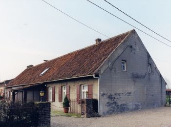
• Trail created by Regionaal Landschap Kempen en Maasland. Symbol: rectangle
A piedi
• Trail created by Regionaal Landschap Kempen en Maasland. Symbol: dot
A piedi
• Trail created by Regionaal Landschap Kempen en Maasland. Symbol: triangle
A piedi
• Trail created by Regionaal Landschap Kempen en Maasland. Symbol: rectangle
A piedi
• Trail created by Regionaal Landschap Kempen en Maasland. Symbol: rectangle
A piedi
• Trail created by Regionaal Landschap Kempen en Maasland. Symbol: x

A piedi
• Trail created by Regionaal Landschap Kempen en Maasland. Symbol: triangle
A piedi
• Trail created by Regionaal Landschap Kempen en Maasland. Symbol: x
A piedi
• Trail created by Regionaal Landschap Kempen en Maasland. Symbol: hexagon
Marcia

Bicicletta
• More information on GPStracks.nl : http://www.gpstracks.nl

Marcia
• More information on : http://www.wandelroutes.org
Marcia
• More information on : http://www.wandelroutes.org
Marcia
• More information on : http://www.wandelroutes.org
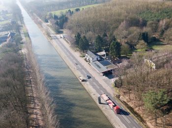
Bicicletta
• Bierroute Limburgse Kempen vanuit Bocholt

 7.857
7.857
sport
Mountainbike
Marcia
20 percorsi visualizzati su 21
Applicazione GPS da escursionismo GRATUITA
 SityTrail
IGN / Istituti geografici
SityTrail World
Il mondo è tuo