


7,9 km | 10,4 km-effort
Nandrin: Scopri i migliori percorsi: 197 percorsi a piedi, 19 percorsi in bicicletta o MTB e 6 percorsi a cavallo. Tutti questi percorsi, itinerari e attività outdoor sono disponibili nelle nostre app SityTrail per smartphone e tablet.
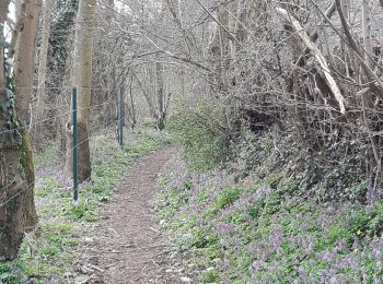
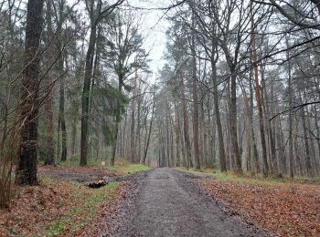
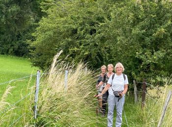
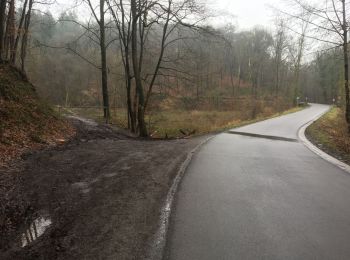
Marcia


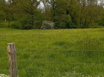
Marcia

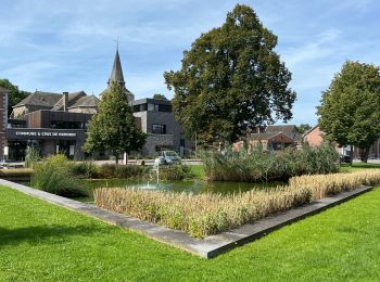
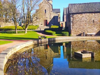
Marcia
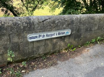
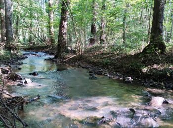
Marcia

Camminata nordica
•
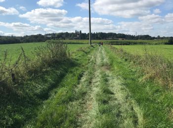
Marcia

Bicicletta
 8.298
8.298
sport
 6.304
6.304
sport
Marcia

Marcia

Mountainbike

A piedi
Marcia
Marcia
Marcia
Marcia
Marcia
A piedi
Camminata nordica
20 percorsi visualizzati su 232
Applicazione GPS da escursionismo GRATUITA
 SityTrail
IGN / Istituti geografici
SityTrail World
Il mondo è tuo