


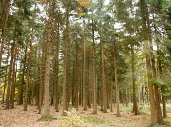
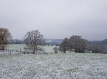
9,1 km | 11,3 km-effort
Louveigné: Scopri i migliori percorsi: 273 percorsi a piedi, 30 percorsi in bicicletta o MTB e 3 percorsi a cavallo. Tutti questi percorsi, itinerari e attività outdoor sono disponibili nelle nostre app SityTrail per smartphone e tablet.
Marcia


Marcia
Camminata nordica
Marcia
Marcia
Marcia
Marcia
Marcia

Marcia
Marcia
A piedi
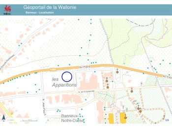
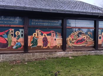
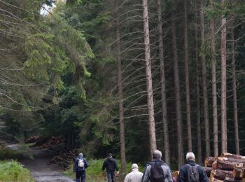
• Trail created by Office du Tourisme de Sprimont-Banneux.
A piedi
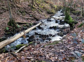
• Trail created by Office du Tourisme de Sprimont-Banneux.
A piedi
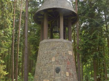
• Trail created by Office du Tourisme de Sprimont-Banneux.
A piedi
• Trail created by Office du Tourisme de Sprimont-Banneux.
A piedi
• Trail created by Office du Tourisme de Sprimont-Banneux.
Marcia
Marcia
Marcia
Marcia

Camminata nordica
20 percorsi visualizzati su 314
Applicazione GPS da escursionismo GRATUITA
 SityTrail
IGN / Istituti geografici
SityTrail World
Il mondo è tuo