![](/images/other/stat-length.png)
- Percorsi
- Outdoor
- Austria
- Oberösterreich
- Bezirk Freistadt
- Neumarkt im Mühlkreis
Neumarkt im Mühlkreis, Bezirk Freistadt : I migliori sentieri, percorsi e passeggiate
Neumarkt im Mühlkreis: Scopri i migliori percorsi: 4 percorsi a piedi. Tutti questi percorsi, itinerari e attività outdoor sono disponibili nelle nostre app SityTrail per smartphone e tablet.
I percorsi migliori (0})
![Percorso A piedi Neumarkt im Mühlkreis - Kefermarkt-Rundweg - Photo](https://media.geolcdn.com/t/350/260/bea5ee9e-5fa4-4a81-a978-6d081e7ddbe4.jpeg&format=jpg&maxdim=2)
![A piedi A piedi](https://static1.geolcdn.com/sitytour/trail-icons/100.png)
Km
A piedi
![](/images/other/stat-length.png)
![](https://static1.geolcdn.com/siteimages/upload/files/1508320355ic_sort_den_pos_24dp.png)
![](https://static1.geolcdn.com/siteimages/upload/files/1508320355ic_sort_den_neg_24dp.png)
![](https://static1.geolcdn.com/siteimages/upload/files/16400158638029165_repeat_loop_refresh_sync_direction_icon.png)
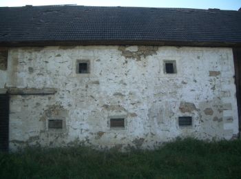
• Trail created by Gemeinde Neumarkt. Symbol: gelber Hinweispfeil mit schwarzem Text "N6" manchmal mit Hinweis auf näc...
![Percorso A piedi Neumarkt im Mühlkreis - Burgstall-Rundweg - Photo](https://media.geolcdn.com/t/350/260/7661415f-b1a1-4997-b3f4-700045b6b36f.jpeg&format=jpg&maxdim=2)
![A piedi A piedi](https://static1.geolcdn.com/sitytour/trail-icons/100.png)
Km
A piedi
![](/images/other/stat-length.png)
![](https://static1.geolcdn.com/siteimages/upload/files/1508320355ic_sort_den_pos_24dp.png)
![](https://static1.geolcdn.com/siteimages/upload/files/1508320355ic_sort_den_neg_24dp.png)
![](https://static1.geolcdn.com/siteimages/upload/files/16400158638029165_repeat_loop_refresh_sync_direction_icon.png)
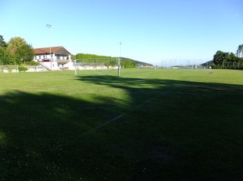
• Trail created by Gemeinde Neumarkt. Symbol: gelber Hinweispfeil mit schwarzem Text "N4" manchmal mit Hinweis au näch...
![Percorso A piedi Neumarkt im Mühlkreis - Kempfendorer Berg Rundwanderweg - Photo](https://media.geolcdn.com/t/350/260/0985909d-a2d4-474b-a240-b44f10724cbc.jpeg&format=jpg&maxdim=2)
![A piedi A piedi](https://static1.geolcdn.com/sitytour/trail-icons/100.png)
Km
A piedi
![](/images/other/stat-length.png)
![](https://static1.geolcdn.com/siteimages/upload/files/1508320355ic_sort_den_pos_24dp.png)
![](https://static1.geolcdn.com/siteimages/upload/files/1508320355ic_sort_den_neg_24dp.png)
![](https://static1.geolcdn.com/siteimages/upload/files/16400158638029165_repeat_loop_refresh_sync_direction_icon.png)
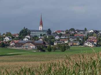
• Trail created by Gemeinde Neumarkt. Symbol: gelber Hinweispfeil mit schwarzem Text "N2" manchmal mit Hinweis au näch...
![Percorso A piedi Neumarkt im Mühlkreis - Museums-Rundweg - Photo](https://media.geolcdn.com/t/350/260/83185559-2b2a-49dc-84cd-1dcca9fa619e.jpeg&format=jpg&maxdim=2)
![A piedi A piedi](https://static1.geolcdn.com/sitytour/trail-icons/100.png)
Km
A piedi
![](/images/other/stat-length.png)
![](https://static1.geolcdn.com/siteimages/upload/files/1508320355ic_sort_den_pos_24dp.png)
![](https://static1.geolcdn.com/siteimages/upload/files/1508320355ic_sort_den_neg_24dp.png)
![](https://static1.geolcdn.com/siteimages/upload/files/16400158638029165_repeat_loop_refresh_sync_direction_icon.png)
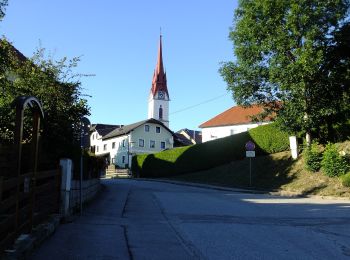
• Trail created by Gemeinde Neumarkt. Symbol: gelber Hinweispfeil mit schwarzem Text "N5" manchmal mit Hinweis auf näc...
4 percorsi visualizzati su 4
Applicazione GPS da escursionismo GRATUITA