


6,3 km | 9,9 km-effort
Orcières: Scopri i migliori percorsi: 2 sport invernali, 1 sci di fondo, 32 sci alpinismo e 53 racchette da neve. Tutti questi percorsi, itinerari e attività outdoor sono disponibili nelle nostre app SityTrail per smartphone e tablet.
Racchette da neve


Sci alpinismo
Sci alpinismo
Sci alpinismo

Racchette da neve
Racchette da neve
Racchette da neve
Racchette da neve
Racchette da neve
Racchette da neve
Racchette da neve
Racchette da neve
Racchette da neve
Racchette da neve
Racchette da neve
Racchette da neve
Sci alpinismo
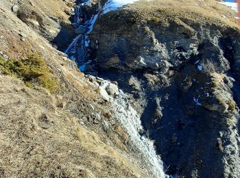
Racchette da neve
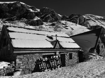
Racchette da neve
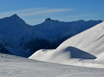
Racchette da neve
20 percorsi visualizzati su 88
Applicazione GPS da escursionismo GRATUITA
 SityTrail
IGN / Istituti geografici
SityTrail World
Il mondo è tuo